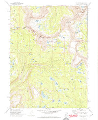
1972 Map of Hayden Peak
USGS Topo · Published 1974About this map
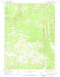
Ashley National Forest dominates this high-altitude survey of the Uinta Mountains, captured before the intensification of modern recreational infrastructure. The landscape is defined by its massive glacial cirques, including Naturalist Basin and Four Lakes Basin, where dozens of alpine water bodies like Amethyst Lake and Ryder Lake are concentrated. A significant cultural and political marker, the Indian Treaty Boundary, cuts diagonally across the peaks, marking the historical division of land that shaped management of this wilderness. The presence of the Highline Trail and the passage through Hayden Pass indicates the long-established routes used by early forest rangers and pack teams. From the summit of Hayden Peak to the lower Murdock Basin, the map details a complex hydrologic network of streams and lakes that feed the surrounding mountain basins.
Find a feature on this map
81 named features on this map. Tap any name to fly to it.
Don’t see what you’re looking for? This feature index may not catch every label — zoom into the map to look around manually.
Map Details
Editions of this 1972 Hayden Peak Map
2 editions found
Other maps of this area

1885 · Uinta
USGS Topo · 1:250,000

1901 · Hayden Peak
USGS Topo · 1:125,000

1903 · Hayden Peak
USGS Topo · 1:125,000

1954 · Salt Lake City
USGS Topo · 1:250,000

1958 · Salt Lake City
USGS Topo · 1:250,000

1960 · Salt Lake City
USGS Topo · 1:250,000

1967 · Explorer Peak
USGS Topo · 1:24,000
1967 · Tworoose Pass
USGS Topo · 1:24,000
1967 · Red Knob
USGS Topo · 1:24,000
1972 · Iron Mine Mountain
USGS Topo · 1:24,000