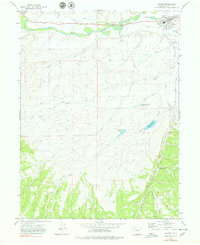
1971 Map of Hayden
USGS Topo · Published 1978About this map
The town of Hayden serves as the focal point of this Northwest Colorado landscape, where the Yampa River valley supports a network of agricultural irrigation via the Cary Ditch, Shelton DITCH, and Walker Ditch. Transportation and industry at the time of this 1971 survey were anchored by the Denver and Rio Grande Western railroad, which parallels the river.
Find a feature on this map
28 named features on this map. Tap any name to fly to it.
Don’t see what you’re looking for? This feature index may not catch every label — zoom into the map to look around manually.
Map Details
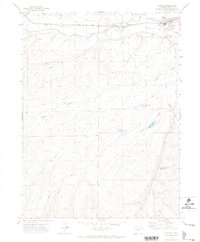
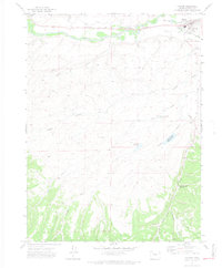
Editions of this 1971 Hayden Map
3 editions found
Other maps of this area

1916 · Daton Peak
USGS Topo · 1:62,500

1920 · Daton Peak
USGS Topo · 1:62,500

1923 · Elkhead Creek
USGS Topo · 1:62,500

1923 · Pilot Knob
USGS Topo · 1:62,500

1924 · Elkhead Creek
USGS Topo · 1:62,500

1924 · Mt. Harris
USGS Topo · 1:48,000

1925 · Pilot Knob
USGS Topo · 1:62,500

1926 · Mount Harris
USGS Topo · 1:62,500

1954 · Craig
USGS Topo · 1:250,000

1957 · Craig
USGS Topo · 1:250,000