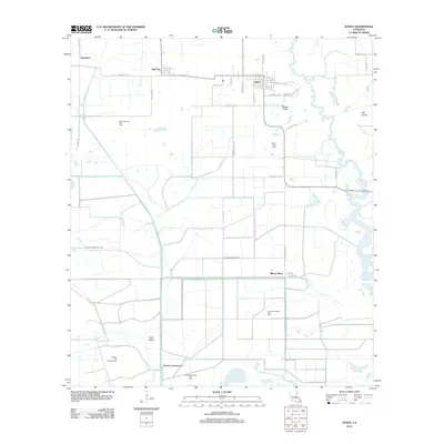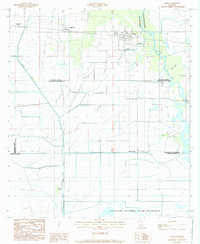
1984 Map of Hayes
USGS Topo · Published 1985About this map
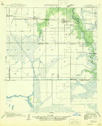
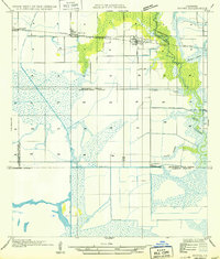
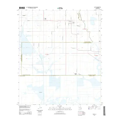
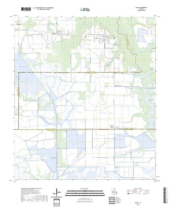
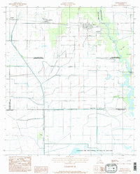
Lacassine National Wildlife Refuge anchors the southern portion of this landscape, where the coastal prairie transitions into the marshy reaches of the Willow Marsh and Bayou Lacassine. This 1980s-era documentation shows a region defined by extensive water management and industrial footprints, notably the Bell City Drainage Canal and the Illinois Plant. The settlement patterns of Hayes, Bell City, and Rossignol follow the high ground and road networks above the low-lying terrain, while geographic markers like Wild Island, Oak Island, and Pine Island signify natural rises in an otherwise fluid environment. The map captures the complex drainage systems and levees essential for agriculture and habitation near the boundaries of Calcasieu, Jefferson Davis, and Cameron Parishes.
Find a feature on this map
14 named features on this map. Tap any name to fly to it.
Don’t see what you’re looking for? This feature index may not catch every label — zoom into the map to look around manually.
Map Details
Editions of this 1984 Hayes Map
2 editions found
Historical Maps of Hayes Through Time
8 maps found