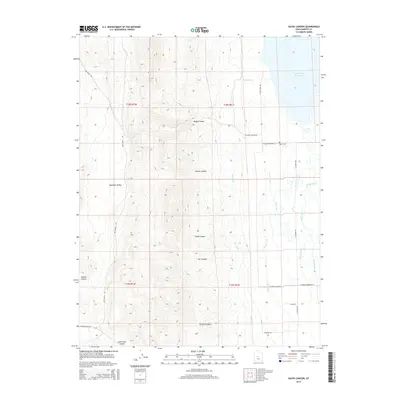
2014 Map of Hayes Canyon
USGS Topo · Published 2014About this map
The Sevier Bridge Reservoir dominates the northeastern corner of this landscape, marking a vital hydrological hub where the Sevier River enters a complex network of irrigation infrastructure. This 2014 survey reveals an arid topography defined by deep incisions like Hayes Canyon, Swedes Canyon, and Steep Canyon that drain eastward toward the valley floor. The desert terrain is heavily modified for agriculture, evidenced by the extensive reach of the Piute Canal, Dover Canal, and Metcalf Ditch.
Find a feature on this map
27 named features on this map. Tap any name to fly to it.
Don’t see what you’re looking for? This feature index may not catch every label — zoom into the map to look around manually.
Map Details
Editions of this 2014 Hayes Canyon Map
This is the sole edition of this map. No revisions or reprints were ever made.
Other maps of this area

1885 · Manti
USGS Topo · 1:250,000

1885 · Sevier Desert
USGS Topo · 1:250,000

1895 · Manti
USGS Topo · 1:250,000

1952 · Scipio North
USGS Topo · 1:62,500

1953 · Delta
USGS Topo · 1:250,000

1956 · Price
USGS Topo · 1:250,000

1958 · Delta
USGS Topo · 1:250,000

1960 · Price
USGS Topo · 1:250,000

1962 · Price
USGS Topo · 1:250,000

1962 · Delta
USGS Topo · 1:250,000