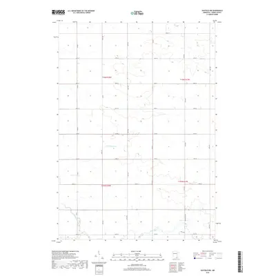
2019 Map of Hayfield NW
USGS Topo · Published 2019About this map
The Little Cedar River and Cedar River meander through this agricultural portion of Dodge County, defining the drainage patterns of the prairie landscape. The area is structured by a rigid section-line road grid, including 740th St and 150th Ave, reflecting the enduring influence of the Public Land Survey System. The map highlights the transition between several townships, including t106n r18w and t105n r17w. While largely rural, the presence of Country Club Rd in the southeast suggests localized development near larger community centers just off the sheet. This 2019 survey provides a precise look at modern land use, showing how county routes like Co Rd K and Co Rd 3 serve the isolated farmsteads and field systems that characterize this region of southern Minnesota.
Find a feature on this map
24 named features on this map. Tap any name to fly to it.
Don’t see what you’re looking for? This feature index may not catch every label — zoom into the map to look around manually.
Map Details
Editions of this 2019 Hayfield NW Map
This is the sole edition of this map. No revisions or reprints were ever made.
Other maps of this area

1953 · Saint Paul
USGS Topo · 1:250,000

1954 · Mason City
USGS Topo · 1:250,000

1957 · Mason City
USGS Topo · 1:250,000

1958 · Mason City
USGS Topo · 1:250,000

1959 · Saint Paul
USGS Topo · 1:250,000

1962 · Owatonna SE
USGS Topo · 1:24,000

1965 · Dodge Center
USGS Topo · 1:24,000

1965 · Claremont
USGS Topo · 1:24,000

1966 · Waltham
USGS Topo · 1:24,000

1966 · Hayfield NW
USGS Topo · 1:24,000