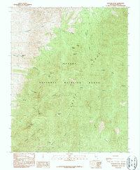
1987 Map of Hayford Peak
USGS Topo · Published 1987About this map
Hayford Peak stands as the literal and figurative high point of this high-altitude landscape in the late 1980s. Located within the Desert National Wildlife Range, the area is defined by the steep elevation changes between the Sheep Range and the Desert Range. Water is a critical, scarce resource in this environment, marked by a series of named water sources such as Yellowjacket Spring, Bootleg Spring, and White Rock Spring. The presence of these springs, along with the Pack Trail winding through the terrain, indicates a landscape used by travelers and wildlife alike. The topography transitions from deep canyons like Yellowjacket Canyon and Quijinump Canyon to the high elevations of Hidden Forest Ridge, providing a look at the natural management of southern Nevada’s mountain corridors before modern expansion.
Find a feature on this map
27 named features on this map. Tap any name to fly to it.
Don’t see what you’re looking for? This feature index may not catch every label — zoom into the map to look around manually.
Map Details
Editions of this 1987 Hayford Peak Map
This is the sole edition of this map. No revisions or reprints were ever made.
Other maps of this area

1907 · Las Vegas
USGS Topo · 1:250,000

1908 · Las Vegas
USGS Topo · 1:250,000

1945 · Sheep Range
USGS Topo · 1:125,000

1954 · Las Vegas
USGS Topo · 1:250,000

1957 · Las Vegas
USGS Topo · 1:250,000

1959 · Las Vegas
USGS Topo · 1:250,000

1960 · Hayford Peak
USGS Topo · 1:62,500

1962 · Las Vegas
USGS Topo · 1:250,000
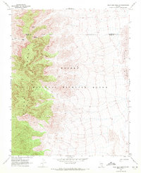
1969 · Mule Deer Ridge SE
USGS Topo · 1:24,000
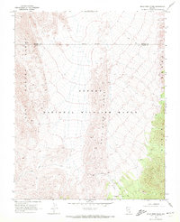
1969 · Mule Deer Ridge
USGS Topo · 1:24,000