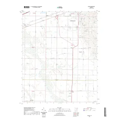
2020 Map of Haynes
USGS Topo · Published 2020About this map
Forrest City sits at the northern edge of this study, positioned where the elevated terrain of Crowley Ridge transitions into the bottomlands of the Mississippi Alluvial Plain. The landscape is defined by the winding course of the L'Anguille River, which carves through a network of creeks including Caney Cr and Candy Cr. This survey illustrates the rural settlement patterns along the St. Francis and Lee County line, where small communities like Haynes and Bonair serve as focal points for the surrounding agricultural landscape.
Find a feature on this map
62 named features on this map. Tap any name to fly to it.
Don’t see what you’re looking for? This feature index may not catch every label — zoom into the map to look around manually.
Map Details
Editions of this 2020 Haynes Map
This is the sole edition of this map. No revisions or reprints were ever made.
Other maps of this area

1939 · Park Place
USGS Topo · 1:62,500

1939 · Wynne
USGS Topo · 1:62,500

1940 · Whitmore
USGS Topo · 1:62,500

1940 · Marianna
USGS Topo · 1:62,500

1948 · Helena
USGS Topo · 1:250,000

1950 · Helena
USGS Topo · 1:250,000

1953 · Memphis
USGS Topo · 1:250,000

1955 · Park Place
USGS Topo · 1:62,500

1955 · Helena
USGS Topo · 1:250,000

1956 · Memphis
USGS Topo · 1:250,000