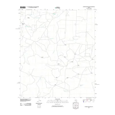
2010 Map of Hayrick Mountain
USGS Topo · Published 2010About this map
Hayrick Mountain and Rattlesnake Mountain rise as distinct landmarks in this corner of Howard County, where the landscape is defined by the practical infrastructure of West Texas ranching. The map reveals an extensive network of water management features essential for livestock, including Hayrick Tank, Dipping Vat Tank, and the aptly named Rockwater Hole. This dependency on reliable water is further evidenced by a dense distribution of named windmills throughout the territory. These features, such as the Doodle Bug Windmill, Patsy Windmill, and Happy Windmill, often carry family or colloquial names, providing specific points of interest for local history and genealogy. The drainage systems of Bull Creek, Mustang Creek, and Forest Creek carve subtle paths across the terrain, connected by a grid of rural county roads.
Find a feature on this map
29 named features on this map. Tap any name to fly to it.
Don’t see what you’re looking for? This feature index may not catch every label — zoom into the map to look around manually.
Map Details
Editions of this 2010 Hayrick Mountain Map
This is the sole edition of this map. No revisions or reprints were ever made.
Other maps of this area

1941 · Big Spring South
USGS Topo · 1:62,500

1942 · Big Spring South
USGS Topo · 1:62,500

1954 · Big Spring
USGS Topo · 1:250,000

1954 · San Angelo
USGS Topo · 1:250,000

1958 · San Angelo
USGS Topo · 1:250,000

1958 · Big Spring
USGS Topo · 1:250,000

1962 · Hyman NE
USGS Topo · 1:24,000

1963 · Cumbie Draw NE
USGS Topo · 1:24,000

1963 · Buffalo Draw
USGS Topo · 1:24,000

1963 · Hayrick Mountain
USGS Topo · 1:24,000