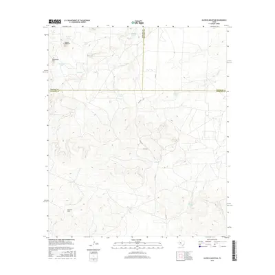
2016 Map of Hayrick Mountain
USGS Topo · Published 2016About this map
Hayrick Mountain and Rattlesnake Mtn dominate the topography of this high-plains landscape where the borders of Howard, Mitchell, and Sterling counties converge. The drainage patterns of Bull Cr, Mustang Cr, and Forest Cr define the intricate contour lines of the southern terrain, leading toward Gardener Draw. This 2016 survey illustrates a modern rangeland economy heavily reliant on specialized water management, evidenced by the numerous tanks scattered across the draws and ridges. Names like Dipping Vat Tank, Triple Tank, and Rockwater Hole reflect the essential nature of surface water in West Texas ranching. Infrastructure is limited to county roads such as Co RD 407-P, which provide access to this open country where the natural landforms remain the primary markers of location.
Find a feature on this map
19 named features on this map. Tap any name to fly to it.
Don’t see what you’re looking for? This feature index may not catch every label — zoom into the map to look around manually.
Map Details
Editions of this 2016 Hayrick Mountain Map
This is the sole edition of this map. No revisions or reprints were ever made.
Other maps of this area

1941 · Big Spring South
USGS Topo · 1:62,500

1942 · Big Spring South
USGS Topo · 1:62,500

1954 · Big Spring
USGS Topo · 1:250,000

1954 · San Angelo
USGS Topo · 1:250,000

1958 · San Angelo
USGS Topo · 1:250,000

1958 · Big Spring
USGS Topo · 1:250,000

1962 · Hyman NE
USGS Topo · 1:24,000

1963 · Cumbie Draw NE
USGS Topo · 1:24,000

1963 · Buffalo Draw
USGS Topo · 1:24,000

1963 · Hayrick Mountain
USGS Topo · 1:24,000