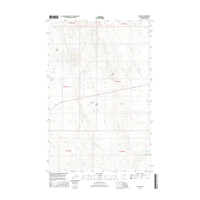
2017 Map of Hays SE
USGS Topo · Published 2017About this map
Warm Springs Cr and Rock Cr define the drainage patterns across this section of Phillips County, where the landscape is marked by a network of intermittent streams and managed water resources. A series of small-scale impoundments, including Phillips Reservoir, Waydown Reservoir, and J D Reservoir, illustrates the essential role of water management in this arid environment. The terrain rises from the creek beds into distinct landforms such as the Sand Hills and the deep incisions of Chimney Gulch and Grouse Gulch.
Find a feature on this map
25 named features on this map. Tap any name to fly to it.
Don’t see what you’re looking for? This feature index may not catch every label — zoom into the map to look around manually.
Map Details
Editions of this 2017 Hays SE Map
This is the sole edition of this map. No revisions or reprints were ever made.
Other maps of this area

1943 · Landusky
USGS Topo · 1:125,000

1954 · Bell Ridge East
USGS Topo · 1:24,000

1954 · Bell Ridge West
USGS Topo · 1:24,000

1954 · Lewistown
USGS Topo · 1:250,000

1959 · Lewistown
USGS Topo · 1:250,000

1971 · Bear Mountain
USGS Topo · 1:24,000

1971 · Hays
USGS Topo · 1:24,000

1971 · Robinson School
USGS Topo · 1:24,000

1971 · Hays SE
USGS Topo · 1:24,000
1971 · Zortman
USGS Topo · 1:24,000