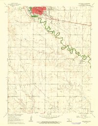
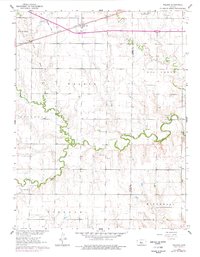
1961 Map of Hays South
USGS Topo · Published 1962This historical map portrays the area of Hays South in 1961, primarily covering Ellis County. Featuring a scale of 1:24000, this map provides a highly detailed snapshot of the terrain, roads, buildings, counties, and historical landmarks in the Hays South region at the time. Published in 1962, it is one of 3 known editions of this map due to revisions or reprints.
Find a feature on this map
28 named features on this map. Tap any name to fly to it.
Don’t see what you’re looking for? This feature index may not catch every label — zoom into the map to look around manually.
Map Details
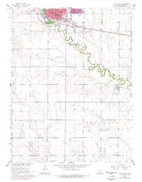
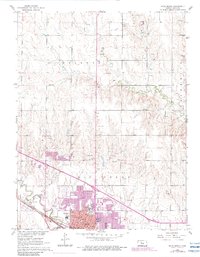
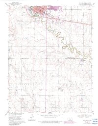
Editions of this 1961 Hays South Map
3 editions found
Historical Maps of Ellis County Through Time
12 maps found

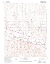
1961 Antonino
Ellis County, KS
1961 Hays North
Ellis County, KS
1961 Hays South
Ellis County, KS
1961 Walker
Ellis County, KS
1961 Yocemento
Ellis County, KS

1963 Mouth of Wild Horse Creek
Ellis County, KS

1974 Ellis SE
Ellis County, KS

1978 Fairport
Ellis County, KS

1978 Plainville SE
Ellis County, KS

1978 Plainville SW
Ellis County, KS

1978 Turkville
Ellis County, KS

1980 Mc Cracken NE
Ellis County, KS