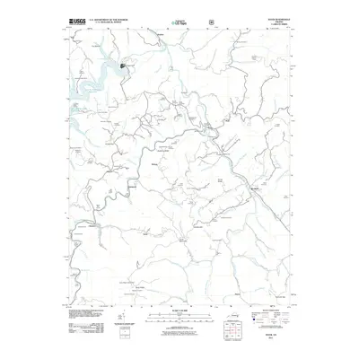
2011 Map of Haysi
USGS Topo · Published 2011About this map
Clinchco and Haysi stand at the heart of this Appalachian coal-country landscape, where the Pound River and McClure River meet the Russell Fork. The central terrain is defined by dramatic elevation changes, notably at Puckett Gap and along Backbone Ridge, while the northern portion is dominated by the John W. Flannagan Reservoir, held by the W Flannagan Dam. This 2011 survey reveals an intensive railroad infrastructure designed to navigate the steep ridges, featuring numerous engineering works such as the Squirrel Camp Tunnel, Pettit Tunnel, and Short Branch Tunnel. For genealogists, the map provides a dense record of family-named burial sites like Stephen Cemetery, Arlington Cemetery, and the O'Quin Cemetery. Strategic vantage points including the Bartlick Lookout Tower and Nealy Ridge Lookout Tower emphasize the area's importance for forest management and local observation within the Virginia mountains.
Find a feature on this map
133 named features on this map. Tap any name to fly to it.
Don’t see what you’re looking for? This feature index may not catch every label — zoom into the map to look around manually.
Map Details
Editions of this 2011 Haysi Map
This is the sole edition of this map. No revisions or reprints were ever made.
Other maps of this area

1886 · Grundy
USGS Topo · 1:125,000

1890 · Grundy
USGS Topo · 1:125,000

1892 · Grundy
USGS Topo · 1:125,000

1913 · Clintwood
USGS Topo · 1:62,500

1914 · Bucu
USGS Topo · 1:48,000

1914 · Hurley
USGS Topo · 1:48,000

1915 · Clintwood
USGS Topo · 1:62,500

1915 · Regina
USGS Topo · 1:48,000

1915 · Hurley
USGS Topo · 1:48,000

1916 · Bucu
USGS Topo · 1:62,500