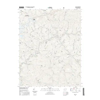
2016 Map of Haysi
USGS Topo · Published 2016About this map
Haysi sits at the confluence of the McClure River and the Russell Fork, serving as a central hub for the small mining and timber communities of Dickenson County. The landscape is defined by its industrial transit history, evidenced by a remarkable sequence of railroad tunnels including the Hills Mill Tunnel, McClure Tunnel, and Goff Tunnel that pierce the surrounding ridges. These engineering feats allowed rail lines to navigate the winding river valleys and steep terrain of Backbone Ridge and Turner Ridge.
Find a feature on this map
89 named features on this map. Tap any name to fly to it.
Don’t see what you’re looking for? This feature index may not catch every label — zoom into the map to look around manually.
Map Details
Editions of this 2016 Haysi Map
This is the sole edition of this map. No revisions or reprints were ever made.
Other maps of this area

1886 · Grundy
USGS Topo · 1:125,000

1890 · Grundy
USGS Topo · 1:125,000

1892 · Grundy
USGS Topo · 1:125,000

1913 · Clintwood
USGS Topo · 1:62,500

1914 · Bucu
USGS Topo · 1:48,000

1914 · Hurley
USGS Topo · 1:48,000

1915 · Clintwood
USGS Topo · 1:62,500

1915 · Regina
USGS Topo · 1:48,000

1915 · Hurley
USGS Topo · 1:48,000

1916 · Bucu
USGS Topo · 1:62,500