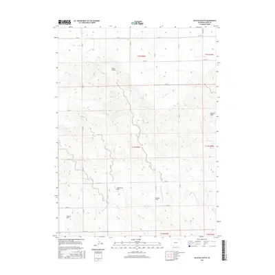
2016 Map of Haystack Butte
USGS Topo · Published 2016About this map
Haystack Butte rises above the plains of northeastern Colorado in this Logan County landscape defined by sophisticated high-plains water management. The terrain is marked by a network of drainage and irrigation features, including the N Sterling Outlet Canal and various irrigation branches like N Sterling Lateral Number 40 and N Sterling Lateral Number 42. These engineered waterways contrast with the natural erosional features that name the area, such as Spring Canyon and Wild Horse Draw. The presence of Weeping Rock Springs suggests localized water sources that historically anchored activity in this semi-arid environment. A rigid grid of county roads, including Co RD 78 and Co RD 66, partitions the land into large parcels, reflecting the enduring legacy of the Public Land Survey System in the western United States.
Find a feature on this map
31 named features on this map. Tap any name to fly to it.
Don’t see what you’re looking for? This feature index may not catch every label — zoom into the map to look around manually.
Map Details
Editions of this 2016 Haystack Butte Map
This is the sole edition of this map. No revisions or reprints were ever made.
Other maps of this area

1899 · Sidney
USGS Topo · 1:125,000

1951 · Iliff
USGS Topo · 1:24,000

1953 · Peetz
USGS Topo · 1:24,000

1953 · Crook
USGS Topo · 1:24,000

1953 · Twin Buttes
USGS Topo · 1:24,000

1953 · Proctor
USGS Topo · 1:24,000

1953 · Haystack Butte
USGS Topo · 1:24,000

1954 · Sterling
USGS Topo · 1:250,000

1954 · Scottsbluff
USGS Topo · 1:250,000

1958 · Scottsbluff
USGS Topo · 1:250,000