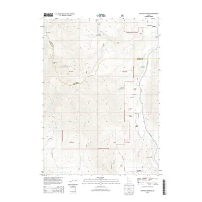
2013 Map of Haystack Mountain
USGS Topo · Published 2013About this map
Lava Hot Springs anchors the southeastern corner of this mountainous landscape where the Portneuf River flows through the high country of the Caribou National Forest. The geography is defined by complex canyon systems and drainages like Big Canyon, Bell Canyon, and Beach Hollow, all overlooked by the prominent summit of Haystack Mtn. Settlement is largely concentrated along the river corridor, where Old Highway 30 and the railroad near Pebble Siding indicate the area's historical role as a transit route through the mountains. Public lands and resource management are evident through markers like the Upper Portneuf Access Area and a network of forest roads including Caribou NF Rd 23. This 2013 survey provides a detailed look at the interface between the protected forest wilderness and the rural homesteads and recreation areas of Bannock Co.
Find a feature on this map
47 named features on this map. Tap any name to fly to it.
Don’t see what you’re looking for? This feature index may not catch every label — zoom into the map to look around manually.
Map Details
Editions of this 2013 Haystack Mountain Map
This is the sole edition of this map. No revisions or reprints were ever made.
Other maps of this area

1917 · Portneuf
USGS Topo · 1:62,500

1948 · Bancroft
USGS Topo · 1:62,500

1949 · Bancroft
USGS Topo · 1:62,500

1954 · Pocatello
USGS Topo · 1:250,000

1955 · Preston
USGS Topo · 1:250,000

1958 · Pocatello
USGS Topo · 1:250,000

1958 · Preston
USGS Topo · 1:250,000

1962 · Preston
USGS Topo · 1:250,000

1968 · Bear Camp Gulch
USGS Topo · 1:24,000

1968 · Lava Hot Springs
USGS Topo · 1:24,000