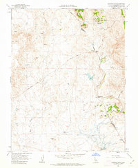
1962 Map of Haystack Mtn.
USGS Topo · Published 1963About this map
The boundary between Mariposa and Merced counties cuts through a landscape defined by rolling foothills and livestock ranching in the early 1960s. Large agricultural holdings like La Paloma Ranch and Waltz Ranch occupy the terrain, which is punctuated by prominent geological landmarks such as China Hat, Courthouse Rock, and the eponymous Haystack Mountain. The water management infrastructure of the era is evident along the watercourses, where the Burns Creek Gaging Station and Burns Creek Dam monitor and control the seasonal flow of Burns Creek.
Find a feature on this map
22 named features on this map. Tap any name to fly to it.
Don’t see what you’re looking for? This feature index may not catch every label — zoom into the map to look around manually.
Map Details
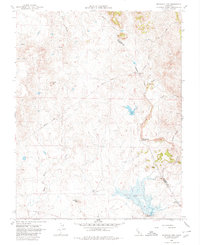
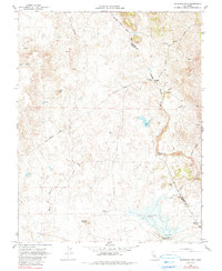
Editions of this 1962 Haystack Mtn. Map
3 editions found
Other maps of this area

1893 · Sonora
USGS Topo · 1:125,000

1896 · Sonora
USGS Topo · 1:125,000

1897 · Sonora
USGS Topo · 1:125,000

1898 · Sonora
USGS Topo · 1:125,000

1914 · Merced
USGS Topo · 1:31,680

1915 · Owens Creek
USGS Topo · 1:31,680

1916 · Hopeton
USGS Topo · 1:31,680

1916 · Merced Falls
USGS Topo · 1:24,000

1917 · Merced
USGS Topo · 1:31,680
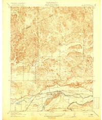
1918 · Snelling
USGS Topo · 1:31,680