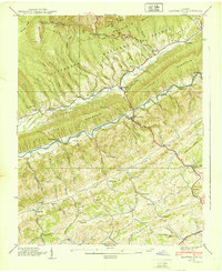
1939 Map of Hayters Gap
USGS Topo · Published 1939About this map
Poor Valley and Rich Valley divide this portion of Southwest Virginia, where the North Fork Holston River cuts through the ridges of the Jefferson National Forest. The landscape is defined by its deep coves and numerous hollows, such as Whiterock Cove and Barnett Hollow, which dictate the placement of small communities and local infrastructure. Small-scale industry and early transit routes are evident in the presence of Giesley Mill, White Mill, and the Salt Works Road winding through the southern hills.
Find a feature on this map
80 named features on this map. Tap any name to fly to it.
Don’t see what you’re looking for? This feature index may not catch every label — zoom into the map to look around manually.
Map Details
Editions of this 1939 Hayters Gap Map
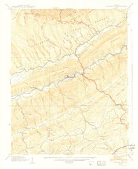
2 editions found
Other maps of this area

1891 · Abingdon
USGS Topo · 1:125,000

1894 · Abingdon
USGS Topo · 1:125,000

1897 · Bristol
USGS Topo · 1:125,000

1902 · Bristol
USGS Topo · 1:125,000
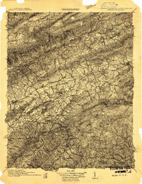
1909 · Abingdon
USGS Topo · 1:96,000
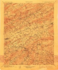
1911 · Abingdon
USGS Topo · 1:125,000
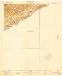
1918 · Carterton
USGS Topo · 1:62,500
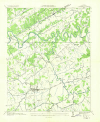
1934 · Lebanon
USGS Topo · 1:24,000
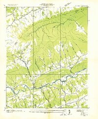
1934 · Brumley
USGS Topo · 1:24,000
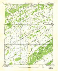
1934 · Wyndale
USGS Topo · 1:24,000