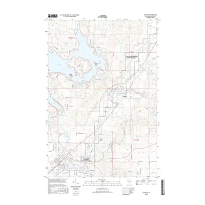
2015 Map of Hayward
USGS Topo · Published 2015About this map
The Namekagon River winds through this northern Wisconsin landscape, anchoring the Saint Croix National Scenic Riverway and connecting a series of significant water bodies. In the southern portion of the sheet, the city of Hayward serves as a focal point, characterized by its grid of streets such as Main St and Kansas Ave, and its location alongside Hayward Lake. The area's transportation and utility are evidenced by the Wisconsin Central railroad line and the Sawyer County Airport.
Find a feature on this map
112 named features on this map. Tap any name to fly to it.
Don’t see what you’re looking for? This feature index may not catch every label — zoom into the map to look around manually.
Map Details
Editions of this 2015 Hayward Map
This is the sole edition of this map. No revisions or reprints were ever made.
Other maps of this area

1944 · Couderay
USGS Topo · 1:48,000

1944 · Hayward
USGS Topo · 1:48,000

1947 · Chittamo
USGS Topo · 1:48,000

1948 · Couderay
USGS Topo · 1:48,000

1948 · Stone Lake
USGS Topo · 1:48,000

1949 · Chittamo
USGS Topo · 1:48,000

1950 · Stone Lake
USGS Topo · 1:48,000

1953 · Ashland
USGS Topo · 1:250,000

1953 · Rice Lake
USGS Topo · 1:250,000

1958 · Ashland
USGS Topo · 1:250,000