2022 Map of Hayward
USGS Topo · Published 2022About this map
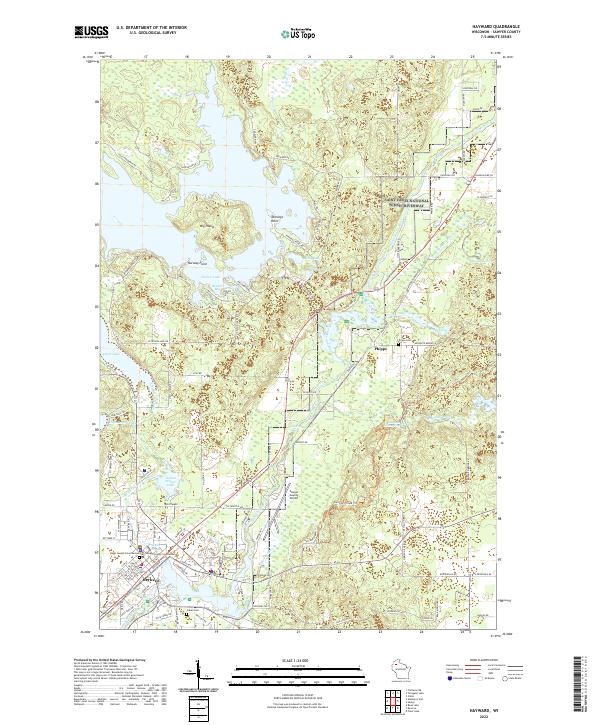
Hayward serves as the focal point of this northern Wisconsin landscape, situated along the Namekagon River and near the expansive waters of Nelson Lake. The town's administrative role is highlighted by the Sawyer County Courthouse, while the surrounding forest and lake country is marked by smaller settlements like Phipps. Recreational and conservation interests are represented by the Saint Croix Wild and Scenic River and the Saint Croix National Scenic Riverway, which protect the river's winding course through the glacial terrain.
Find a feature on this map
109 named features on this map. Tap any name to fly to it.
Don’t see what you’re looking for? This feature index may not catch every label — zoom into the map to look around manually.
Map Details
Editions of this 2022 Hayward Map
This is the sole edition of this map. No revisions or reprints were ever made.