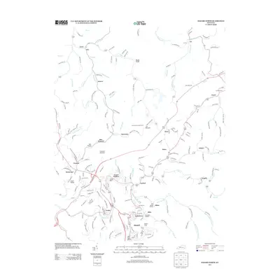
2013 Map of Hazard North
USGS Topo · Published 2013About this map
The N Fork Kentucky River defines the southern landscape of this 2013 survey, where the regional hub of Hazard anchors a network of hollows and ridges. This area of Perry County is characterized by concentrated settlements following the narrow valley floors, including the residential clusters of Walkertown, Allais, and Combs. North of the river, the terrain rises toward Peters Peak and Crawford Mountain, where the coal heritage of the region is evident in place names like Blue Diamond and Bonnyman.
Find a feature on this map
213 named features on this map. Tap any name to fly to it.
Don’t see what you’re looking for? This feature index may not catch every label — zoom into the map to look around manually.
Map Details
Editions of this 2013 Hazard North Map
This is the sole edition of this map. No revisions or reprints were ever made.
Other maps of this area

1891 · Hazard
USGS Topo · 1:125,000
1913 · Buckhorn
USGS Topo · 1:62,500
1914 · Troublesome
USGS Topo · 1:62,500
1916 · Cornettsville
USGS Topo · 1:62,500
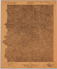
1916 · Hyden
USGS Topo · 1:48,000
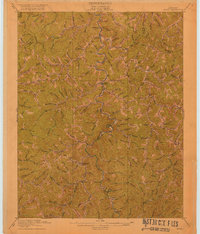
1919 · Hyden
USGS Topo · 1:62,500
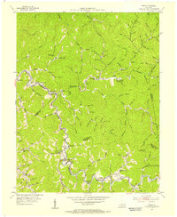
1954 · Noble
USGS Topo · 1:24,000
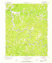
1954 · Krypton
USGS Topo · 1:24,000
1954 · Hyden East
USGS Topo · 1:24,000
1954 · Haddix
USGS Topo · 1:24,000