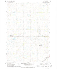
1973 Map of Hazel
USGS Topo · Published 1978About this map
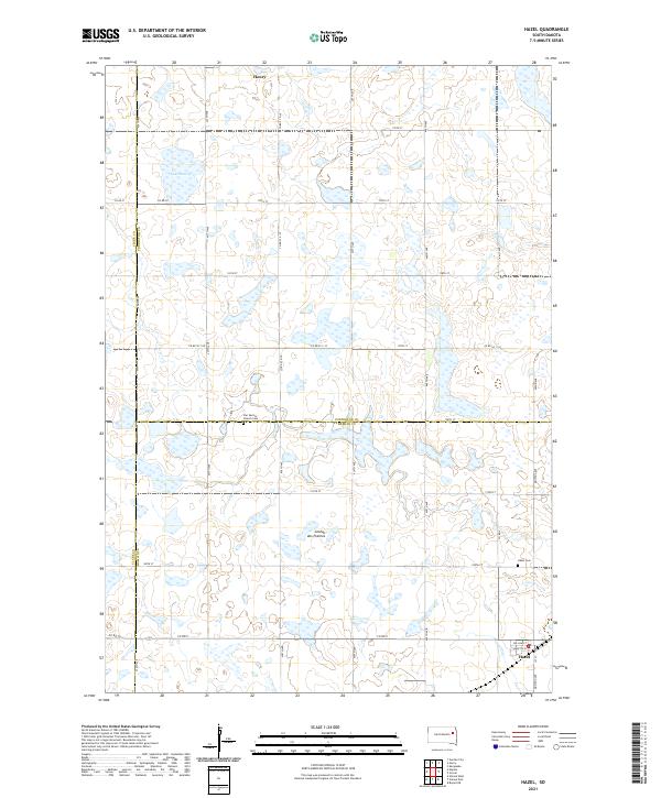
Hazel serves as the primary rail settlement in this 1970s landscape, situated along the Burlington Northern line in southern Hamlin County. The terrain is defined by its wetland conservation and recreation areas, featuring a network of sites such as the National Waterfowl Production Area and the Dybvig State Public Shooting Area. These managed lands surround numerous unnamed glacial depressions and sloughs characteristic of the region, emphasizing the area's role in wildlife preservation and seasonal hunting.
Find a feature on this map
19 named features on this map. Tap any name to fly to it.
Don’t see what you’re looking for? This feature index may not catch every label — zoom into the map to look around manually.
Map Details
Editions of this 1973 Hazel Map
This is the sole edition of this map. No revisions or reprints were ever made.
Historical Maps of Henry Through Time
5 maps found
Featured Locations
- Codington County, SD
- Henry Township, SD
- Brantford Township, SD
- Henry, Henry Township
- Hazel, Brantford Township