
1973 Map of Naples
USGS Topo · Published 1978About this map
Naples serves as a focal point in this eastern South Dakota landscape, situated at the intersection of rural townships including Merton, Foxton, and Elrod. The settlement is closely tied to the Chicago Milwaukee St Paul and Pacific railroad, which cuts a diagonal path through the prairie. Family and local history are preserved in several community grounds, including South Elrod Cem, St Patricks Cem, and the Naples Cem.
Find a feature on this map
16 named features on this map. Tap any name to fly to it.
Don’t see what you’re looking for? This feature index may not catch every label — zoom into the map to look around manually.
Map Details
Editions of this 1973 Naples Map
This is the sole edition of this map. No revisions or reprints were ever made.
Other maps of this area

1953 · Watertown
USGS Topo · 1:250,000

1958 · Watertown
USGS Topo · 1:250,000

1973 · Garden City
USGS Topo · 1:24,000
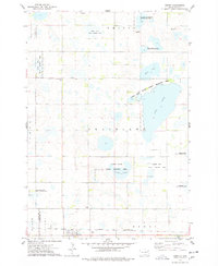
1973 · Henry
USGS Topo · 1:24,000

1973 · Willow Lake
USGS Topo · 1:24,000

1973 · Clark South
USGS Topo · 1:24,000
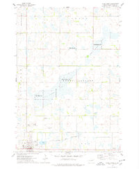
1973 · Clark North
USGS Topo · 1:24,000

1973 · Vienna West
USGS Topo · 1:24,000

1973 · Vienna East
USGS Topo · 1:24,000
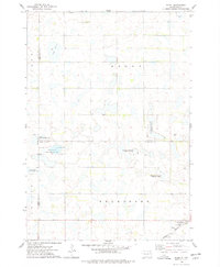
1973 · Hazel
USGS Topo · 1:24,000