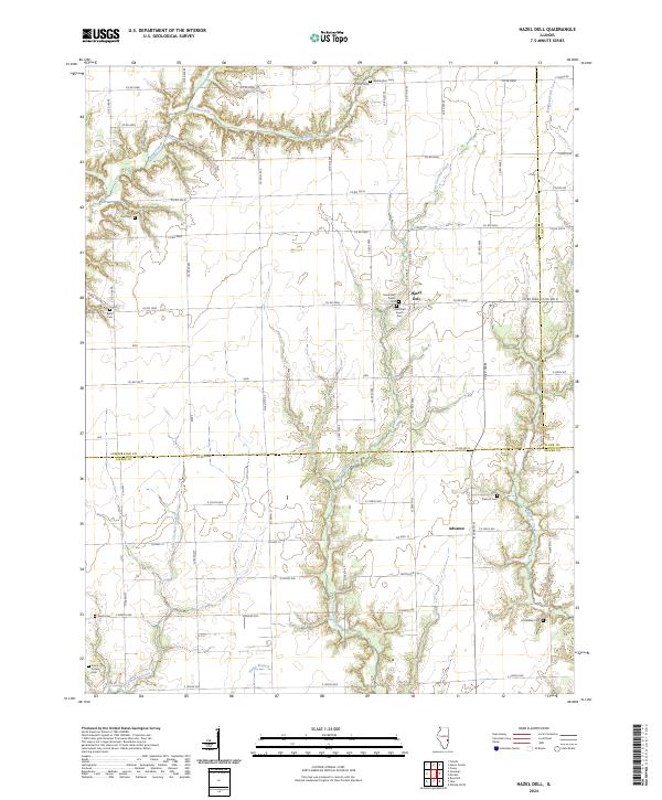
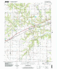
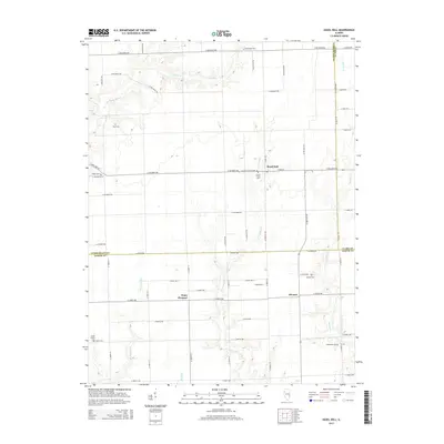
2024 Map of Hazel Dell
USGS Topo · Published 2024About this map
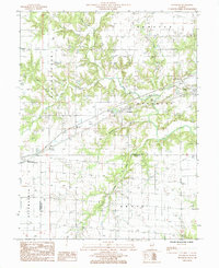
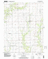
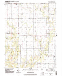
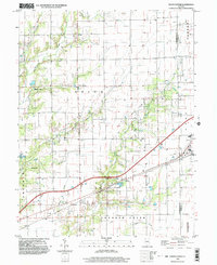
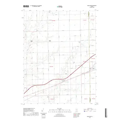
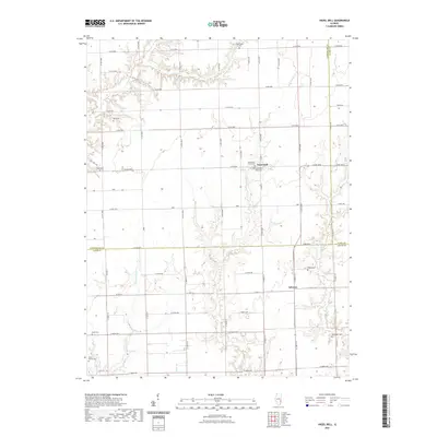
Hazel Dell and Advance anchor this rural landscape where the border between Cumberland, Jasper, and Clark counties meets. The terrain is defined by the branching drainage of East Crooked Creek, Chivler Creek, and West Crooked Creek, which carve winding paths through the agricultural grid. These waterways dictated the placement of early settlements and travel routes, such as Co Hwy 13 and the numerous county roads like Co Rd 500N that follow section lines.
Find a feature on this map
64 named features on this map. Tap any name to fly to it.
Don’t see what you’re looking for? This feature index may not catch every label — zoom into the map to look around manually.
Map Details
Editions of this 2024 Hazel Dell Map
This is the sole edition of this map. No revisions or reprints were ever made.
Historical Maps of Hazel Dell Through Time
28 maps found
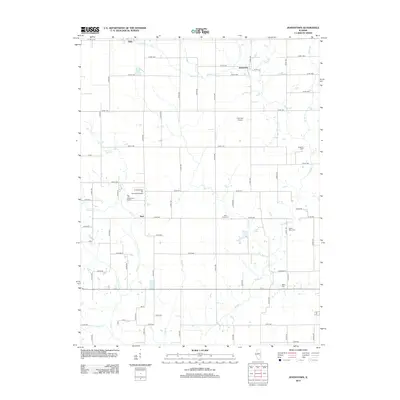
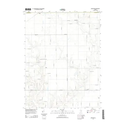
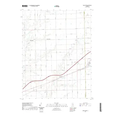
1984 Johnstown
Cumberland County, IL
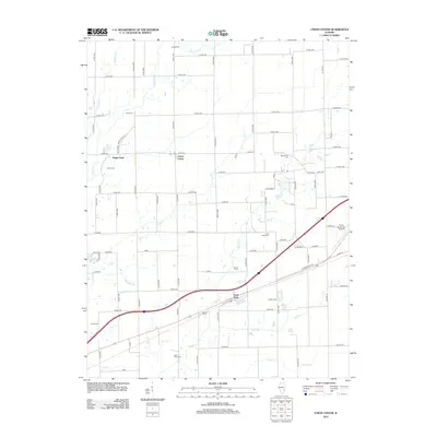
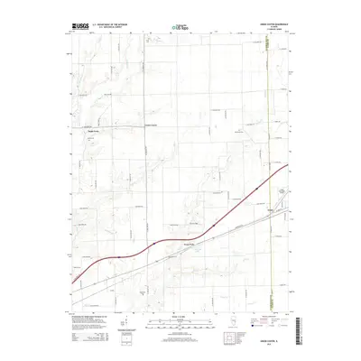
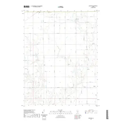
1984 Union Center
Cumberland County, IL
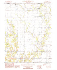
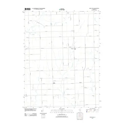
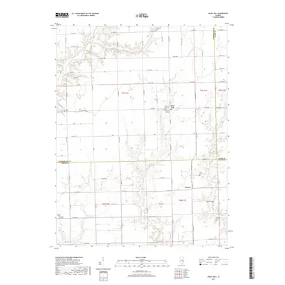
1985 Hazel Dell
Cumberland County, IL
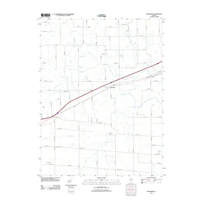
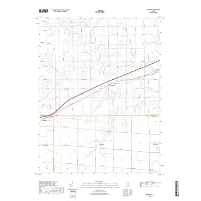
1985 Woodbury
Cumberland County, IL
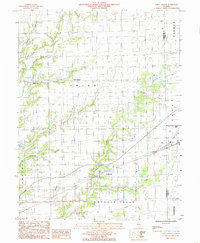
1998 Hazel Dell
Cumberland County, IL
1998 Johnstown
Cumberland County, IL
1998 Union Center
Cumberland County, IL
1998 Woodbury
Cumberland County, IL
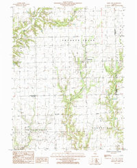
2012 Hazel Dell
Cumberland County, IL
2012 Johnstown
Cumberland County, IL
2012 Union Center
Cumberland County, IL
2012 Woodbury
Cumberland County, IL
2015 Hazel Dell
Cumberland County, IL
2015 Johnstown
Cumberland County, IL
2015 Union Center
Cumberland County, IL
2015 Woodbury
Cumberland County, IL
2018 Hazel Dell
Cumberland County, IL
2018 Johnstown
Cumberland County, IL
2018 Union Center
Cumberland County, IL
2018 Woodbury
Cumberland County, IL
2021 Hazel Dell
Cumberland County, IL
2021 Johnstown
Cumberland County, IL
2021 Union Center
Cumberland County, IL
2021 Woodbury
Cumberland County, IL
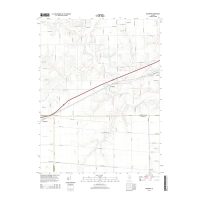
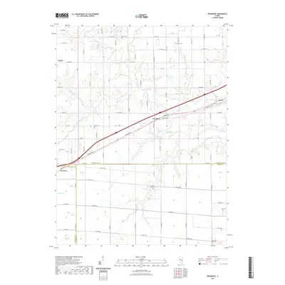
2024 Hazel Dell
Cumberland County, IL
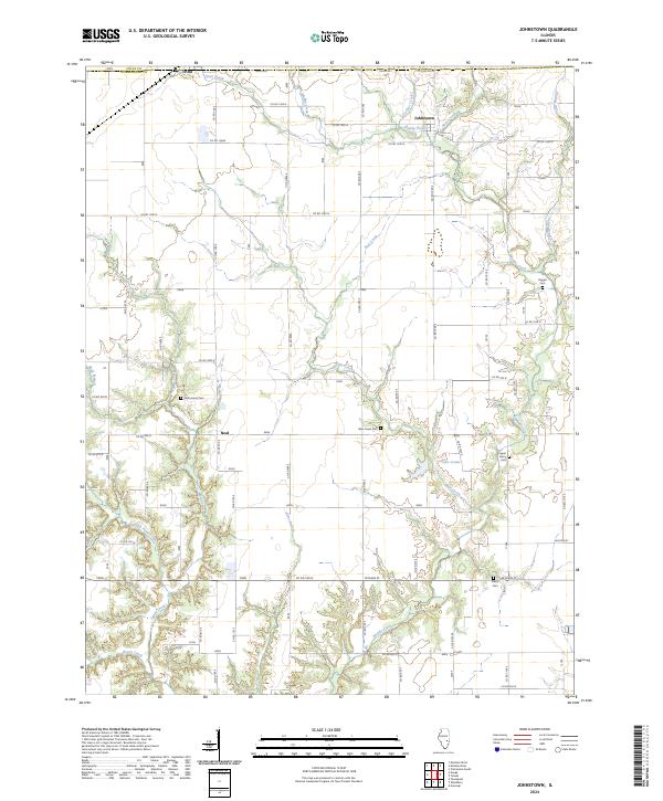
2024 Johnstown
Cumberland County, IL
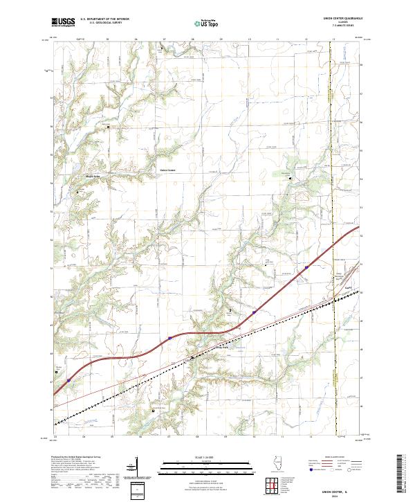
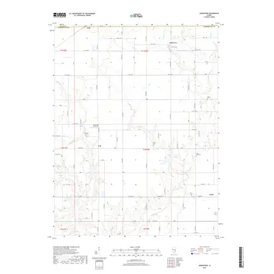
2024 Union Center
Cumberland County, IL
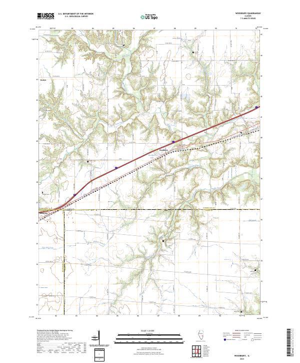
2024 Woodbury
Cumberland County, IL