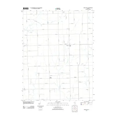
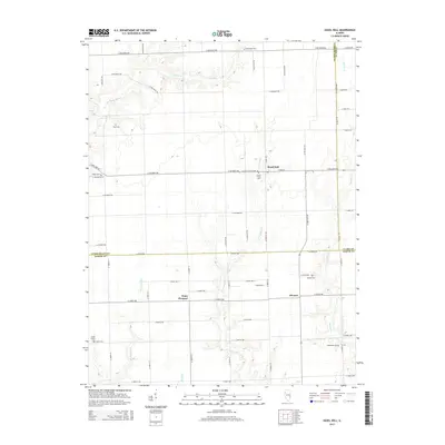
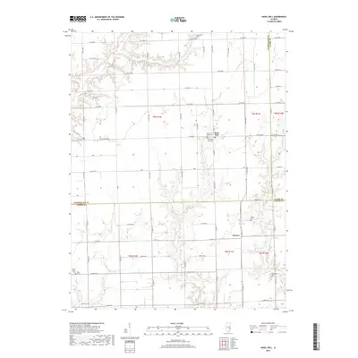
1985 Map of Hazel Dell
USGS Topo · Published 1985About this map
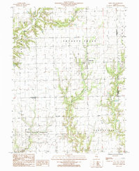
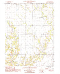
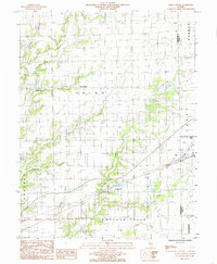
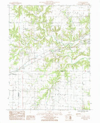
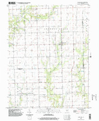
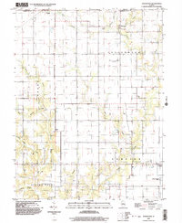
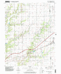
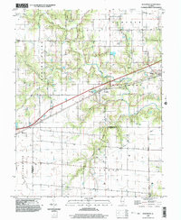
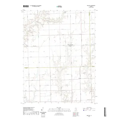
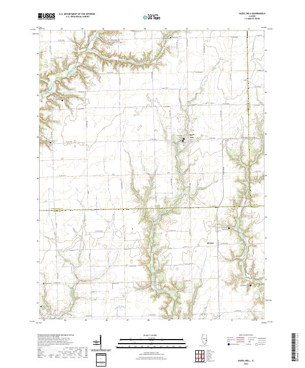
Hazel Dell serves as a primary settlement point in this mid-1980s look at the southeastern corner of Cumberland County. The landscape is defined by the winding course of Crooked Creek and its tributary West Crooked Creek, which carve through the central and western portions of the quadrangle. Smaller rural centers like Point Pleasant and Advance are visible, connected by a grid of local roads that navigate the local topography. A notable industrial presence is indicated by numerous Oil Wells concentrated in the southern sections, particularly in Grandville Road township. This survey, compiled from aerial photography, captures the intersection of traditional Illinois agriculture and active resource extraction at the tri-county boundary where Cumberland meets Jasper and Clark counties.
Find a feature on this map
9 named features on this map. Tap any name to fly to it.
Don’t see what you’re looking for? This feature index may not catch every label — zoom into the map to look around manually.
Map Details
Editions of this 1985 Hazel Dell Map
This is the sole edition of this map. No revisions or reprints were ever made.
Historical Maps of Point Pleasant Through Time
28 maps found
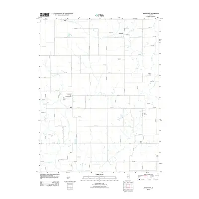
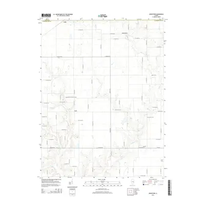
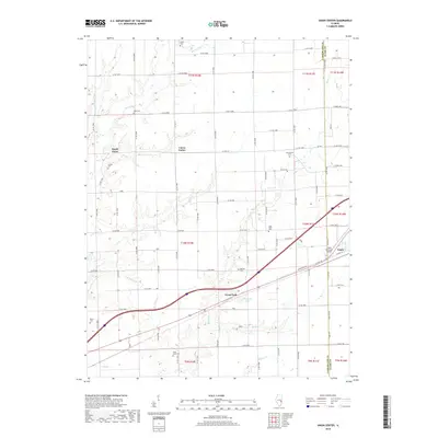
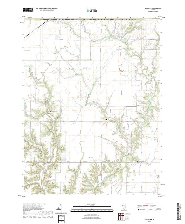
1984 Johnstown
Cumberland County, IL
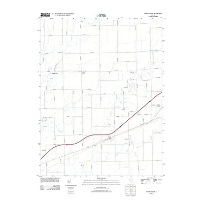
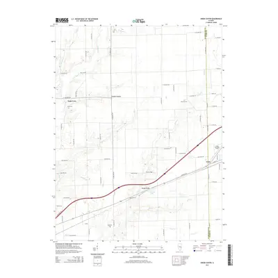
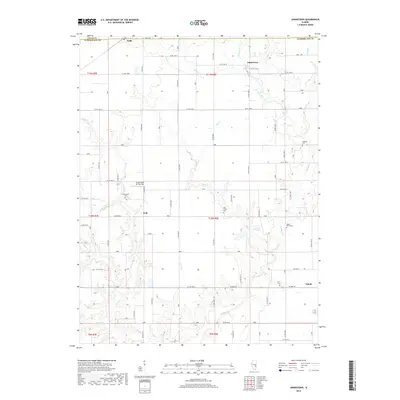
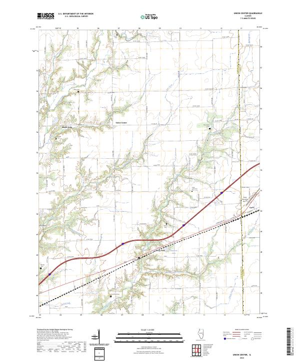
1984 Union Center
Cumberland County, IL
1985 Hazel Dell
Cumberland County, IL
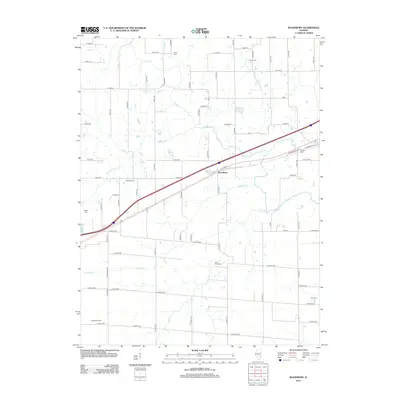
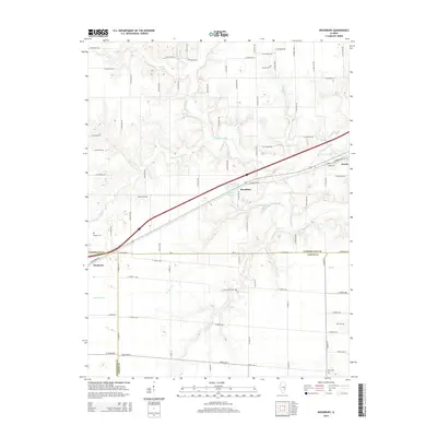
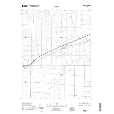
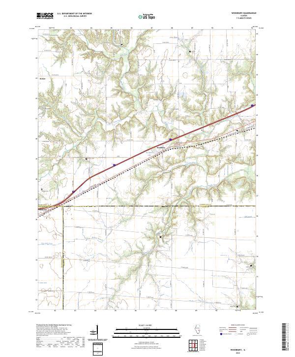
1985 Woodbury
Cumberland County, IL
1998 Hazel Dell
Cumberland County, IL
1998 Johnstown
Cumberland County, IL
1998 Union Center
Cumberland County, IL
1998 Woodbury
Cumberland County, IL
2012 Hazel Dell
Cumberland County, IL
2012 Johnstown
Cumberland County, IL
2012 Union Center
Cumberland County, IL
2012 Woodbury
Cumberland County, IL
2015 Hazel Dell
Cumberland County, IL
2015 Johnstown
Cumberland County, IL
2015 Union Center
Cumberland County, IL
2015 Woodbury
Cumberland County, IL
2018 Hazel Dell
Cumberland County, IL
2018 Johnstown
Cumberland County, IL
2018 Union Center
Cumberland County, IL
2018 Woodbury
Cumberland County, IL
2021 Hazel Dell
Cumberland County, IL
2021 Johnstown
Cumberland County, IL
2021 Union Center
Cumberland County, IL
2021 Woodbury
Cumberland County, IL
2024 Hazel Dell
Cumberland County, IL
2024 Johnstown
Cumberland County, IL
2024 Union Center
Cumberland County, IL
2024 Woodbury
Cumberland County, IL