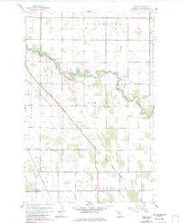
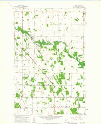
1961 Map of Hazel
USGS Topo · Published 1982About this map
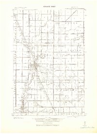
The Red Lake River carves a winding course through the glacial plains of Pennington County, defining the agricultural landscape of Smiley and Silverton. This 1961 topography reveals a rural society structured by historical property lines and drainage engineering, most notably the prominent diagonal of the Old Indian Treaty Boundary that cuts across the township grids. This boundary represents a significant cartographic legacy of 19th-century land cessions, persisting as a physical and legal marker in the mid-20th century.
Find a feature on this map
16 named features on this map. Tap any name to fly to it.
Don’t see what you’re looking for? This feature index may not catch every label — zoom into the map to look around manually.
Map Details
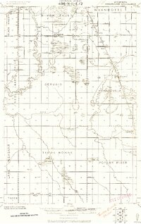
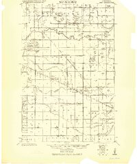
Editions of this 1961 Hazel Map
2 editions found
Other maps of this area
1918 · Terrebonne
USGS Topo · 1:62,500
1919 · Grit
USGS Topo · 1:62,500
1943 · Thief River Falls
USGS Topo · 1:62,500

1952 · Grand Forks
USGS Topo · 1:250,000

1952 · Thief River Falls
USGS Topo · 1:250,000

1954 · Bemidji
USGS Topo · 1:250,000

1954 · Roseau
USGS Topo · 1:250,000

1956 · Thief River Falls
USGS Topo · 1:250,000

1956 · Grand Forks
USGS Topo · 1:250,000

1957 · Roseau
USGS Topo · 1:250,000