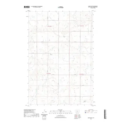
2020 Map of Hazelton NW
USGS Topo · Published 2020About this map
Gayton Gimble Cem and Fredrich Merkel Cem stand as quiet landmarks within this rural section of Emmons County. The landscape is defined by the winding paths of Horsehead Cr and Badger Cr, which carve through the undulating prairie. The map reveals a highly structured grid of section lines and local roads, including 64th St SW and Facwett Pl, reflecting the enduring township and range system that organized North Dakota's agricultural heartland. For genealogists, the specific naming of family-associated cemeteries like the Fredrich Merkel Cem provides a precise geographical anchor for early 21st-century ancestral research in this sparsely settled region.
Find a feature on this map
18 named features on this map. Tap any name to fly to it.
Don’t see what you’re looking for? This feature index may not catch every label — zoom into the map to look around manually.
Map Details
Editions of this 2020 Hazelton NW Map
This is the sole edition of this map. No revisions or reprints were ever made.
Other maps of this area

1907 · Bismarck
USGS Topo · 1:125,000

1954 · Bismarck
USGS Topo · 1:250,000

1958 · Bismarck
USGS Topo · 1:250,000

1968 · Cannon Ball
USGS Topo · 1:24,000

1968 · Cannon Ball SE
USGS Topo · 1:24,000

1971 · Moffit SW
USGS Topo · 1:24,000

1971 · Hazelton
USGS Topo · 1:24,000

1971 · Moffit SE
USGS Topo · 1:24,000

1971 · Fort Rice
USGS Topo · 1:24,000

1971 · Hazelton SW
USGS Topo · 1:24,000