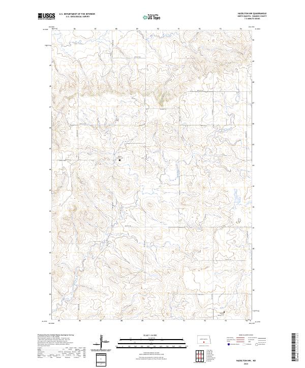
2024 Map of Hazelton NW
USGS Topo · Published 2024About this map
Horsehead Creek and Badger Creek wind through the sectioned plains of Emmons County, defining the drainage patterns of this rural landscape. The map highlights key genealogical points of interest such as the Gayton Gimble Cem and the Fredrich Merkel Cem, both of which serve as historical anchors for the surrounding farmsteads. A significant portion of the southwestern corner is dedicated to the Emmons County Waterfowl Production Area, reflecting the region's importance for local wildlife conservation. The land is organized by a precise grid of local roads, including Main Ave and 2nd Ave SW, which facilitate movement between the dispersed agricultural holdings and small family plots that characterize this part of North Dakota.
Find a feature on this map
25 named features on this map. Tap any name to fly to it.
Don’t see what you’re looking for? This feature index may not catch every label — zoom into the map to look around manually.
Map Details
Editions of this 2024 Hazelton NW Map
This is the sole edition of this map. No revisions or reprints were ever made.
Other maps of this area

1907 · Bismarck
USGS Topo · 1:125,000

1954 · Bismarck
USGS Topo · 1:250,000

1958 · Bismarck
USGS Topo · 1:250,000

1968 · Cannon Ball
USGS Topo · 1:24,000

1968 · Cannon Ball SE
USGS Topo · 1:24,000

1971 · Moffit SW
USGS Topo · 1:24,000

1971 · Hazelton
USGS Topo · 1:24,000

1971 · Moffit SE
USGS Topo · 1:24,000

1971 · Fort Rice
USGS Topo · 1:24,000

1971 · Hazelton SW
USGS Topo · 1:24,000