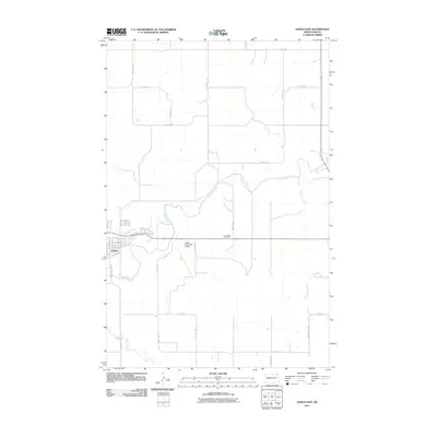
2011 Map of Hazen East
USGS Topo · Published 2011About this map
Hazen serves as the primary hub of this Mercer County landscape, where the town's residential streets and infrastructure are clustered near the banks of Antelope Creek. The terrain is defined by the meandering path of the Knife River, which flows eastward and receives several tributaries, including Coal Creek from the north and Brady Creek from the south. The map illustrates a highly organized grid of rural roads and county routes, such as County Rd-26 and County Rd-18, which connect the town to outlying landmarks like the Cambridge Cemetery and the Hazen Municipal Airport. This 2011 survey captures the area's agricultural character, dominated by large sections of land partitioned by an extensive network of numeric avenues and streets that reflect the persistent importance of the township and range survey system in Western North Dakota.
Find a feature on this map
35 named features on this map. Tap any name to fly to it.
Don’t see what you’re looking for? This feature index may not catch every label — zoom into the map to look around manually.
Map Details
Editions of this 2011 Hazen East Map
This is the sole edition of this map. No revisions or reprints were ever made.
Other maps of this area

1948 · Stanton
USGS Topo · 1:62,500

1949 · Stanton
USGS Topo · 1:62,500

1954 · McClusky
USGS Topo · 1:250,000

1958 · McClusky
USGS Topo · 1:250,000

1968 · Red Butte
USGS Topo · 1:24,000

1968 · Red Butte NW
USGS Topo · 1:24,000

1968 · Hazen West
USGS Topo · 1:24,000

1968 · Stanton
USGS Topo · 1:24,000

1968 · Hannover NW
USGS Topo · 1:24,000

1968 · Hazen East
USGS Topo · 1:24,000