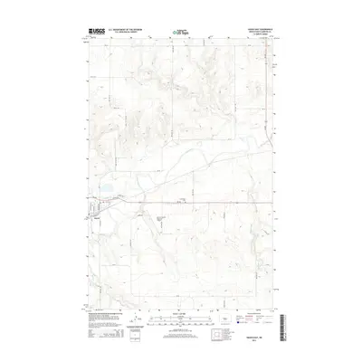
2014 Map of Hazen East
USGS Topo · Published 2014About this map
Knife River meanders eastward through the center of this Missouri Slope landscape, meeting Antelope Cr just north of the city of Hazen. This early 21st-century record shows the community's footprint extending toward the Mercer County Regional Airport, with local infrastructure like Elevator Dr and Rodeo Dr reflecting the agricultural and civic character of the region. North of the river, the terrain is defined by a network of drainage coulees including Coal Cr, while the eastern portion of the sheet is marked by the winding path of Kinneman Cr. For those tracing local history, the Cambridge Cem stands as a notable landmark along the corridor of ND-200, serving as a primary link between the upland prairies and the river valley settlements.
Find a feature on this map
31 named features on this map. Tap any name to fly to it.
Don’t see what you’re looking for? This feature index may not catch every label — zoom into the map to look around manually.
Map Details
Editions of this 2014 Hazen East Map
This is the sole edition of this map. No revisions or reprints were ever made.
Other maps of this area

1948 · Stanton
USGS Topo · 1:62,500

1949 · Stanton
USGS Topo · 1:62,500

1954 · McClusky
USGS Topo · 1:250,000

1958 · McClusky
USGS Topo · 1:250,000

1968 · Red Butte
USGS Topo · 1:24,000

1968 · Red Butte NW
USGS Topo · 1:24,000

1968 · Hazen West
USGS Topo · 1:24,000

1968 · Stanton
USGS Topo · 1:24,000

1968 · Hannover NW
USGS Topo · 1:24,000

1968 · Hazen East
USGS Topo · 1:24,000