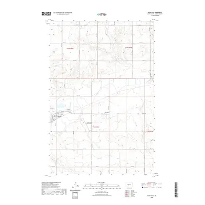
2020 Map of Hazen East
USGS Topo · Published 2020About this map
The Knife River flows eastward across this Mercer County landscape, serving as a primary geographic anchor for the community of Hazen. This survey illustrates the settlement's layout during the early 21st century, showing the residential expansion along Sunrise Dr and the commercial corridor of Highway Dr. The regional transportation and utility network is well-defined, with the Mercer County Regional Airport positioned south of the main township and a grid of county roads, including Co Rd 20 and Co Rd 18, providing access to the surrounding agricultural sections.
Find a feature on this map
28 named features on this map. Tap any name to fly to it.
Don’t see what you’re looking for? This feature index may not catch every label — zoom into the map to look around manually.
Map Details
Editions of this 2020 Hazen East Map
This is the sole edition of this map. No revisions or reprints were ever made.
Other maps of this area

1948 · Stanton
USGS Topo · 1:62,500

1949 · Stanton
USGS Topo · 1:62,500

1954 · McClusky
USGS Topo · 1:250,000

1958 · McClusky
USGS Topo · 1:250,000

1968 · Red Butte
USGS Topo · 1:24,000

1968 · Red Butte NW
USGS Topo · 1:24,000

1968 · Hazen West
USGS Topo · 1:24,000

1968 · Stanton
USGS Topo · 1:24,000

1968 · Hannover NW
USGS Topo · 1:24,000

1968 · Hazen East
USGS Topo · 1:24,000