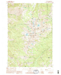
1990 Map of He Devil
USGS Topo · Published 1990About this map
The Seven Devils Mountains dominate this high-elevation wilderness near the border of Idaho Co and Adams Co. The terrain is defined by dramatic peaks and mythological nomenclature, including the towering He Devil, She Devil, and the Tower of Babel. Dozens of alpine water bodies are scattered across the peaks, from the large Sheep Lake to the smaller Gem Lake and Echo Lake.
Find a feature on this map
78 named features on this map. Tap any name to fly to it.
Don’t see what you’re looking for? This feature index may not catch every label — zoom into the map to look around manually.
Map Details
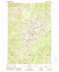
Editions of this 1990 He Devil Map
2 editions found
Other maps of this area

1920 · Seven Devils Mining District
USGS Topo · 1:48,000

1922 · He Devil
USGS Topo · 1:48,000

1938 · Riggins
USGS Topo · 1:96,000

1945 · Riggins
USGS Topo · 1:125,000

1955 · Grangeville
USGS Topo · 1:250,000

1957 · He Devil
USGS Topo · 1:62,500

1957 · Cuprum
USGS Topo · 1:62,500

1959 · Grangeville
USGS Topo · 1:250,000
1963 · Pollock Mountain
USGS Topo · 1:24,000
1964 · Kessler Creek
USGS Topo · 1:24,000