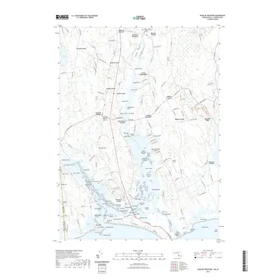
2021 Map of Head of Westport
USGS Topo · Published 2021About this map
Westport Point serves as the coastal anchor of this landscape where the West Branch and East Branch of the Westport River converge before entering the Atlantic. The region is defined by a series of historically significant road junctions and crossroad settlements such as Handy Four Corners, Gidleys Corner, and Slades Corner, reflecting a traditional New England pattern of rural development. Local history and genealogy are anchored by several established burial grounds including Beech Grove Cem and Linden Grove Cem. The map illustrates a complex coastal ecology characterized by numerous necks and points, including Jessies Neck and Pines Point, alongside inland features like Deerfield Swamp and Cedar Dell Lake. The presence of the Westport Airport and Camp Noquochoke marks the evolving land use of the mid-20th century onwards.
Find a feature on this map
181 named features on this map. Tap any name to fly to it.
Don’t see what you’re looking for? This feature index may not catch every label — zoom into the map to look around manually.
Map Details
Editions of this 2021 Head of Westport Map
This is the sole edition of this map. No revisions or reprints were ever made.
Other maps of this area

1885 · New Bedford
USGS Topo · 1:62,500

1885 · Sakonnet
USGS Topo · 1:62,500

1888 · New Bedford
USGS Topo · 1:62,500

1888 · Fall River
USGS Topo · 1:62,500

1888 · Sakonnet
USGS Topo · 1:62,500

1893 · Sakonnet
USGS Topo · 1:62,500

1893 · Fall River
USGS Topo · 1:62,500

1893 · New Bedford
USGS Topo · 1:62,500

1918 · New Bedford
USGS Topo · 1:62,500

1919 · Fall River
USGS Topo · 1:62,500