
1969 Map of Headland
USGS Topo · Published 1971About this map
Agricultural research and railway expansion converge at the city of Headland, where the Seaboard Coast Line tracks bisect the landscape. This 1969 survey captures the Wiregrass region as it balances rural traditions with mid-century infrastructure, featuring the Auburn University Experimental Station and the Headland Municipal Airport north of the city center. The landscape is defined by the winding paths of Little Omusee Creek and Cedar Creek, which frame a territory of family churches like Pleasant Hill Ch and local landmarks such as the Dothan Speedway.
Find a feature on this map
40 named features on this map. Tap any name to fly to it.
Don’t see what you’re looking for? This feature index may not catch every label — zoom into the map to look around manually.
Map Details
Editions of this 1969 Headland Map
This is the sole edition of this map. No revisions or reprints were ever made.
Other maps of this area

1953 · Dothan
USGS Topo · 1:250,000

1954 · Dothan
USGS Topo · 1:250,000

1955 · Dothan
USGS Topo · 1:250,000

1969 · Dothan East
USGS Topo · 1:24,000
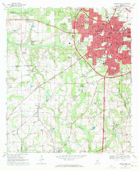
1969 · Dothan West
USGS Topo · 1:24,000
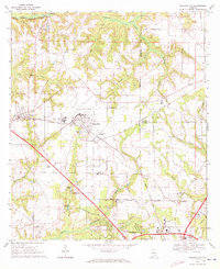
1969 · Midland City
USGS Topo · 1:24,000
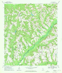
1969 · Echo
USGS Topo · 1:24,000

1969 · Newville
USGS Topo · 1:24,000

1970 · Haleburg
USGS Topo · 1:24,000

1970 · Sigma
USGS Topo · 1:24,000