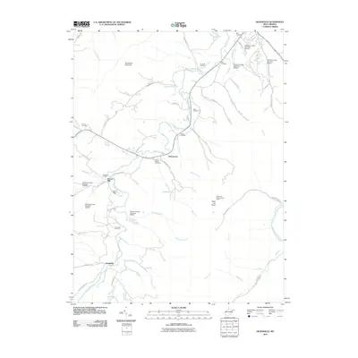
2011 Map of Headsville
USGS Topo · Published 2011About this map
Patterson Creek defines the local geography of this Mineral County landscape, winding past the historic settlement of Headsville and the industrial landmark at Reeses Mill. The map documents a rural network of family-named cemeteries and small watercourses, including Mill Run and Horseshoe Run, reflecting a long history of local land use. Prominent topographic features like Horseshoe Mountain and Slaty Lick Knob overlook the valley, the latter featuring the Slaty Lick Knob Lookout Tower.
Find a feature on this map
69 named features on this map. Tap any name to fly to it.
Don’t see what you’re looking for? This feature index may not catch every label — zoom into the map to look around manually.
Map Details
Editions of this 2011 Headsville Map
This is the sole edition of this map. No revisions or reprints were ever made.
Other maps of this area

1891 · Romney
USGS Topo · 1:125,000

1898 · Frostburg
USGS Topo · 1:62,500

1899 · Flintstone
USGS Topo · 1:62,500

1900 · Flintstone
USGS Topo · 1:62,500

1901 · Frostburg
USGS Topo · 1:62,500

1908 · Frostburg
USGS Topo · 1:62,500

1920 · Keyser
USGS Topo · 1:62,500

1921 · Keyser
USGS Topo · 1:48,000

1921 · Hanging Rock
USGS Topo · 1:48,000

1922 · Keyser
USGS Topo · 1:62,500