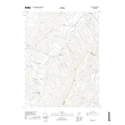
2019 Map of Headsville
USGS Topo · Published 2019About this map
Patterson Creek flows through a narrow valley shaped by the steep ridges of Patterson Creek Mtn and Horseshoe Mtn in this 2019 survey of eastern West Virginia. The landscape is dotted with small rural settlements and an exceptional density of family and community burial grounds, including Mineral Baptist Cem, the Broad Run Graveyard, and the Eusiva Cem near Champwood. These cemeteries, often tucked along runs like Hollenbeck Run or near the banks of the South Branch Potomac River, speak to generations of local residency and land use. The map also records the Headsville Bridge and the namesake settlement of Headsville, providing a clear view of the transportation corridors and mountain hollows that define this portion of Mineral County and Hampshire County.
Find a feature on this map
84 named features on this map. Tap any name to fly to it.
Don’t see what you’re looking for? This feature index may not catch every label — zoom into the map to look around manually.
Map Details
Editions of this 2019 Headsville Map
This is the sole edition of this map. No revisions or reprints were ever made.
Other maps of this area

1891 · Romney
USGS Topo · 1:125,000

1898 · Frostburg
USGS Topo · 1:62,500

1899 · Flintstone
USGS Topo · 1:62,500

1900 · Flintstone
USGS Topo · 1:62,500

1901 · Frostburg
USGS Topo · 1:62,500

1908 · Frostburg
USGS Topo · 1:62,500

1920 · Keyser
USGS Topo · 1:62,500

1921 · Keyser
USGS Topo · 1:48,000

1921 · Hanging Rock
USGS Topo · 1:48,000

1922 · Keyser
USGS Topo · 1:62,500