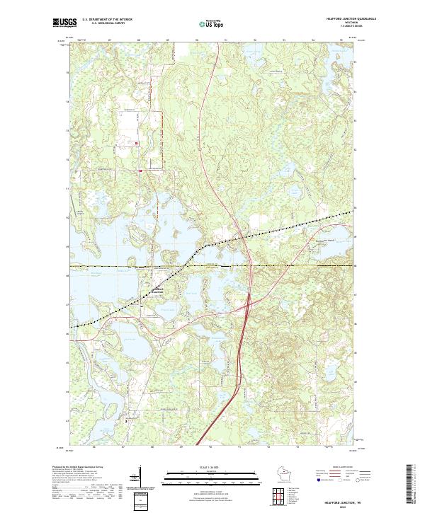
2022 Map of Heafford Junction
USGS Topo · Published 2022About this map
Heafford Junction serves as the focal point for this landscape where the Oneida Co and Lincoln Co lines meet. The terrain is defined by a complex network of glacial water bodies and managed flowages, including the large expanse of Lake Mohawksin and the Jersey City Flowage to the south. The settlement pattern follows the contours of the water, with clusters of development near Crystal Lake and the residential reach of Everbreeze Island on Manson Lake.
Find a feature on this map
106 named features on this map. Tap any name to fly to it.
Don’t see what you’re looking for? This feature index may not catch every label — zoom into the map to look around manually.
Map Details
Editions of this 2022 Heafford Junction Map
This is the sole edition of this map. No revisions or reprints were ever made.
Other maps of this area

1939 · Mc Cord
USGS Topo · 1:48,000

1939 · Cassian
USGS Topo · 1:48,000

1942 · Cassian
USGS Topo · 1:48,000

1947 · Mc Cord
USGS Topo · 1:48,000

1950 · Tomahawk
USGS Topo · 1:48,000

1950 · Spirit Falls
USGS Topo · 1:48,000

1952 · Spirit Falls
USGS Topo · 1:48,000

1952 · Tomahawk
USGS Topo · 1:48,000

1954 · Iron Mountain
USGS Topo · 1:250,000

1959 · Iron Mountain
USGS Topo · 1:250,000