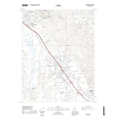
2018 Map of Healdsburg
USGS Topo · Published 2018About this map
The Russian River defines the geography of this Sonoma County corridor, winding south from Healdsburg toward the expanding residential and commercial centers of Windsor and Larkfield-Wikiup. This 2018 survey documents a landscape where agricultural heritage meets modern infrastructure, anchored by the Charles M Schulz - Sonoma County Airport in the south. The river's influence is evident in the cluster of riverside communities like Del Rio Woods, Camp Rose, and Bailhache, as well as the popular Healdsburg Veterans Memorial Beach.
Find a feature on this map
38 named features on this map. Tap any name to fly to it.
Don’t see what you’re looking for? This feature index may not catch every label — zoom into the map to look around manually.
Map Details
Editions of this 2018 Healdsburg Map
This is the sole edition of this map. No revisions or reprints were ever made.
Other maps of this area

1916 · Santa Rosa
USGS Topo · 1:62,500

1920 · Healdsburg
USGS Topo · 1:62,500

1927 · Calistoga
USGS Topo · 1:62,500

1933 · Healdsburg
USGS Topo · 1:48,000

1935 · Sebastopol
USGS Topo · 1:48,000

1940 · Healdsburg
USGS Topo · 1:62,500

1942 · Sebastopol
USGS Topo · 1:62,500

1943 · Calistoga
USGS Topo · 1:62,500

1944 · Santa Rosa
USGS Topo · 1:62,500

1945 · Calistoga
USGS Topo · 1:62,500