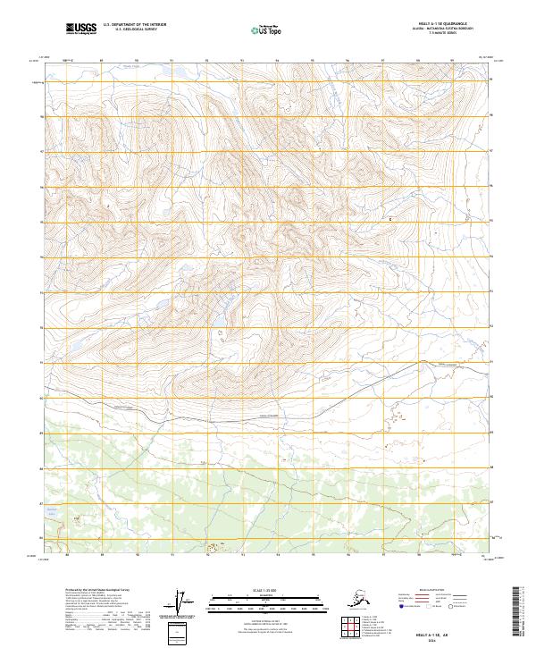
2024 Map of Healy A-1 SE
USGS Topo · Published 2024About this map
Denali Highway cuts a lone east-west corridor through this high-elevation landscape in the Matanuska-Susitna Borough. The drainage patterns here are defined by a network of seasonal and permanent watercourses including Windy Creek, South Fork Pass Creek, and the aptly named Corkscrew Creek. These waters descend from the steep interior slopes toward the lowland marshes and ponds characteristic of the Alaska Range foothills. In the southwestern corner, Hatchet Lake provides a rare point of standing water amidst the complex terrain of Alpine Creek and Waterfall Creek. The sparse infrastructure on this map, limited almost entirely to the primary highway, reflects the remote and largely undeveloped character of the region during the early 21st century, where land use is dictated by the natural topography of the river basins.
Find a feature on this map
12 named features on this map. Tap any name to fly to it.
Don’t see what you’re looking for? This feature index may not catch every label — zoom into the map to look around manually.
Map Details
Editions of this 2024 Healy A-1 SE Map
This is the sole edition of this map. No revisions or reprints were ever made.
Other maps of this area

1949 · Healy A-1
USGS Topo · 1:63,360

1950 · Talkeetna Mountains
USGS Topo · 1:250,000

1950 · Mount Hayes
USGS Topo · 1:250,000

1950 · Mount Hayes A-6
USGS Topo · 1:63,360

1951 · Healy
USGS Topo · 1:250,000

1951 · Gulkana
USGS Topo · 1:250,000

1951 · Mount Hayes
USGS Topo · 1:250,000

1951 · Gulkana D-6
USGS Topo · 1:63,360

1951 · Talkeetna Mountains D-1
USGS Topo · 1:63,360
1952 · Talkeetna Mountains D-1
USGS Topo · 1:63,360