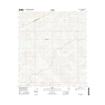
2016 Map of Healy A-6 NW
USGS Topo · Published 2016About this map
Denali National Park encompasses much of this interior Alaskan landscape, where the high-altitude terrain of the Alaska Range dominates the southern reaches. The map documents a critical administrative boundary between the Denali Borough and the Matanuska-Susitna Borough, tracing a line across steep contour intervals that define the region's complex verticality. Waterways including Ohio Cr, Copeland Cr, and Christy Cr carve through the deep valleys between unnamed peaks, illustrating the drainage patterns of the subarctic wilderness. This 2016 survey captures the area in its modern state, serving as a record of the precise border demarcations and topographic features within the federally protected parklands of central Alaska.
Find a feature on this map
12 named features on this map. Tap any name to fly to it.
Don’t see what you’re looking for? This feature index may not catch every label — zoom into the map to look around manually.
Map Details
Editions of this 2016 Healy A-6 NW Map
This is the sole edition of this map. No revisions or reprints were ever made.
Other maps of this area

1949 · Healy A-6
USGS Topo · 1:63,360

1951 · Healy
USGS Topo · 1:250,000

1952 · Mount McKinley
USGS Topo · 1:250,000

1952 · Mount McKinley B-1
USGS Topo · 1:63,360

1953 · Healy A-6
USGS Topo · 1:63,360

1954 · Healy B-6
USGS Topo · 1:63,360

1954 · Mount McKinley B-1
USGS Topo · 1:63,360

1954 · Mount McKinley A-1
USGS Topo · 1:63,360

1956 · Healy
USGS Topo · 1:250,000

1958 · Mount McKinley
USGS Topo · 1:250,000