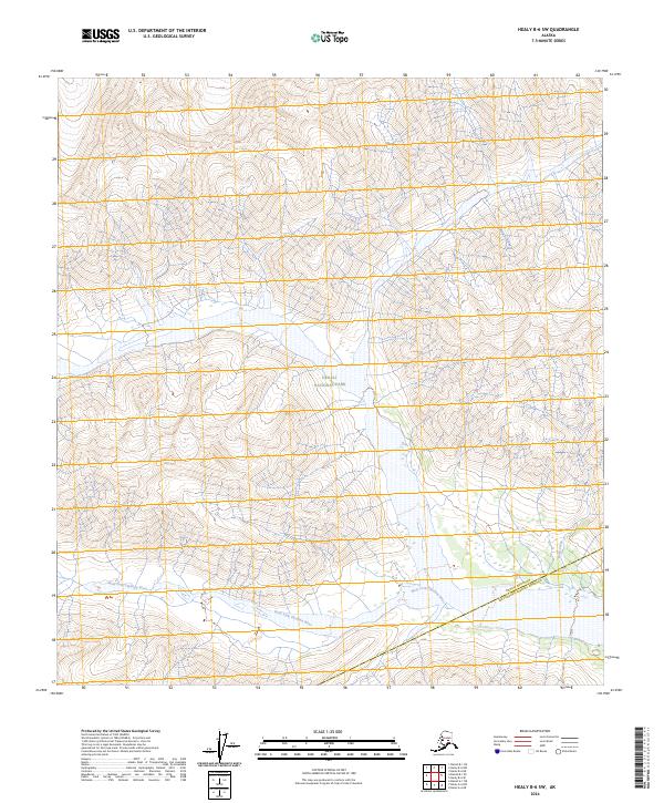
2024 Map of Healy B-6 SW
USGS Topo · Published 2024About this map
Denali National Park and the protected Denali Wilderness define the interior of this high-latitude terrain, where the landscape is shaped by the glacial runoff of the West Fork Chulitna River. Flowing across the southern portion of the map, the river acts as a natural corridor through the mountainous topography of the Alaska Range. The boundary between the Denali Borough and the Matanuska-Susitna Borough cuts diagonally across the southeastern corner, reflecting the administrative divisions of this sparsely populated wilderness. Ruby Creek joins the larger river system near this boundary, providing a fine-grained view of the drainage patterns that characterize the area's subarctic ecology. The lack of established roads or permanent settlements underscores the preservation of this region as a primitive landscape within the national park system.
Find a feature on this map
5 named features on this map. Tap any name to fly to it.
Don’t see what you’re looking for? This feature index may not catch every label — zoom into the map to look around manually.
Map Details
Editions of this 2024 Healy B-6 SW Map
This is the sole edition of this map. No revisions or reprints were ever made.
Other maps of this area

1949 · Healy A-6
USGS Topo · 1:63,360

1951 · Healy
USGS Topo · 1:250,000

1952 · Mount McKinley
USGS Topo · 1:250,000

1952 · Mount McKinley B-1
USGS Topo · 1:63,360

1953 · Healy A-6
USGS Topo · 1:63,360

1954 · Healy B-6
USGS Topo · 1:63,360

1954 · Mount McKinley B-1
USGS Topo · 1:63,360

1954 · Mount McKinley A-1
USGS Topo · 1:63,360

1956 · Healy
USGS Topo · 1:250,000

1958 · Mount McKinley
USGS Topo · 1:250,000