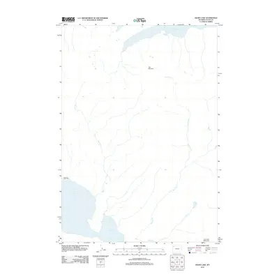
2012 Map of Heart Lake
USGS Topo · Published 2012About this map
Heart Lake and its surrounding drainage basin define this high-altitude landscape in the southern reaches of the park. The 2012 survey illustrates the hydrological connections between several prominent bodies of water, including the southern tip of Yellowstone Lake and the smaller Outlet Lake. The topography is anchored by Flat Mountain and Overlook Mountain, which provide the vertical context for the complex network of mountain streams.
Find a feature on this map
9 named features on this map. Tap any name to fly to it.
Don’t see what you’re looking for? This feature index may not catch every label — zoom into the map to look around manually.
Map Details
Editions of this 2012 Heart Lake Map
This is the sole edition of this map. No revisions or reprints were ever made.
Other maps of this area

1885 · Lake
USGS Topo · 1:125,000

1886 · Shoshone
USGS Topo · 1:125,000

1888 · Shoshone
USGS Topo · 1:125,000

1895 · Shoshone
USGS Topo · 1:125,000

1895 · Lake
USGS Topo · 1:125,000

1896 · Lake
USGS Topo · 1:125,000

1901 · Shoshone
USGS Topo · 1:125,000

1901 · Lake
USGS Topo · 1:125,000

1906 · Lake
USGS Topo · 1:125,000

1908 · Shoshone
USGS Topo · 1:125,000