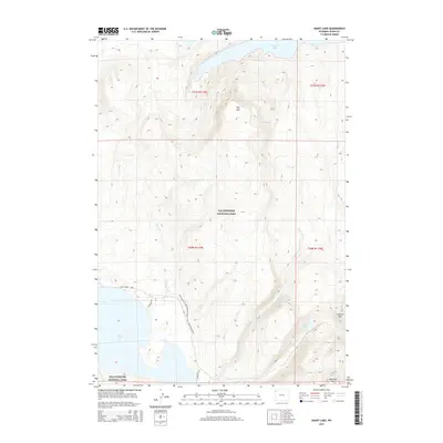
2015 Map of Heart Lake
USGS Topo · Published 2015About this map
Yellowstone National Park reveals a wild hydrologic intersection where the high-altitude waters of Yellowstone Lake and Heart Lake are separated by the massive profiles of Flat Mtn and Channel Mtn. This landscape is defined by its drainage patterns, with Beaver Cr and Surprise Cr carving paths through the high-country wilderness. For those tracking historical routes through the Wyoming backcountry, the Continental Divide National Scenic Trail and the Trail Creek Trail provide the primary human transit corridors across the terrain. These trails connect remote backcountry locations like Campsite 8J1 and Campsite 8J6, reflecting the long-standing use of these paths by travelers navigating the varied elevations between Outlet Lake and the southern reach of the park’s largest water bodies.
Find a feature on this map
18 named features on this map. Tap any name to fly to it.
Don’t see what you’re looking for? This feature index may not catch every label — zoom into the map to look around manually.
Map Details
Editions of this 2015 Heart Lake Map
This is the sole edition of this map. No revisions or reprints were ever made.
Other maps of this area

1885 · Lake
USGS Topo · 1:125,000

1886 · Shoshone
USGS Topo · 1:125,000

1888 · Shoshone
USGS Topo · 1:125,000

1895 · Shoshone
USGS Topo · 1:125,000

1895 · Lake
USGS Topo · 1:125,000

1896 · Lake
USGS Topo · 1:125,000

1901 · Shoshone
USGS Topo · 1:125,000

1901 · Lake
USGS Topo · 1:125,000

1906 · Lake
USGS Topo · 1:125,000

1908 · Shoshone
USGS Topo · 1:125,000