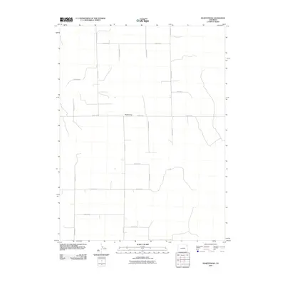
2010 Map of Heartstrong
USGS Topo · Published 2010About this map
Heartstrong sits at the center of this rural agricultural landscape in Yuma County, defined by a rigid grid of section-line roads that facilitate the local farming economy. This 2010 survey illustrates the organized spatial development of the High Plains, where thoroughfares like County Road N and County Rd-26 serve as the primary conduits between scattered farmsteads and the central community. The terrain is relatively flat, punctuated by the faint outlines of intermittent drainages and irrigation patterns typical of eastern Colorado. This map is particularly useful for understanding contemporary land use and property boundaries in a region where the road network, including County Road M and County Road P, forms the backbone of the social and economic geography.
Find a feature on this map
14 named features on this map. Tap any name to fly to it.
Don’t see what you’re looking for? This feature index may not catch every label — zoom into the map to look around manually.
Map Details
Editions of this 2010 Heartstrong Map
This is the sole edition of this map. No revisions or reprints were ever made.
Other maps of this area

1954 · Limon
USGS Topo · 1:250,000

1954 · Sterling
USGS Topo · 1:250,000

1957 · Limon
USGS Topo · 1:250,000

1958 · Limon
USGS Topo · 1:250,000

1958 · Sterling
USGS Topo · 1:250,000

1961 · Eckley
USGS Topo · 1:24,000

1968 · Abarr SE
USGS Topo · 1:24,000

1968 · Vernon SW
USGS Topo · 1:24,000

1969 · Heartstrong
USGS Topo · 1:24,000

1969 · Vernon NW
USGS Topo · 1:24,000