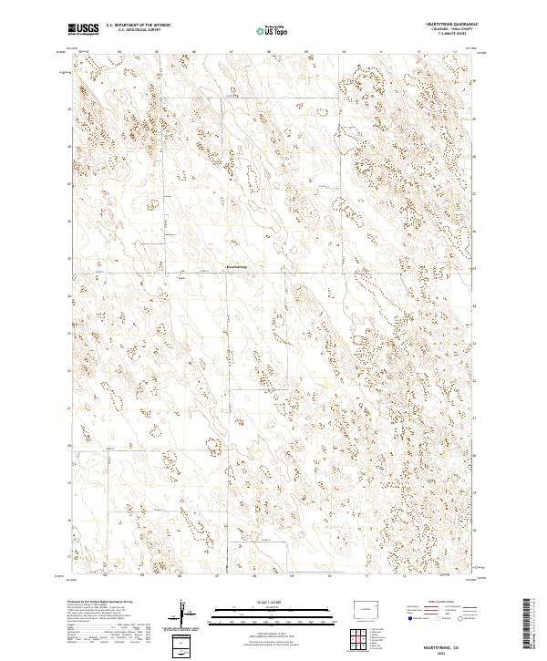
2022 Map of Heartstrong
USGS Topo · Published 2022About this map
The tiny settlement of Heartstrong anchors this survey of the high plains in eastern Yuma County. Located at the intersection of Co Rd 26 and Co Rd N, the area reflects the rigid grid of the Public Land Survey System, which defines the local road network and property boundaries across township lines like t1s r46w and t2s r47w. The landscape is characterized by its high-altitude prairie drainage patterns, where subtle contour changes influence the placement of rural corridors such as Co Rd 29 and Co Rd Q. While the map appears sparse, the precise labeling of these county roads and section corners provides essential data for genealogists and land researchers tracing early 21st-century property ownership and infrastructure in this remote part of Colorado.
Find a feature on this map
17 named features on this map. Tap any name to fly to it.
Don’t see what you’re looking for? This feature index may not catch every label — zoom into the map to look around manually.
Map Details
Editions of this 2022 Heartstrong Map
This is the sole edition of this map. No revisions or reprints were ever made.
Other maps of this area

1954 · Limon
USGS Topo · 1:250,000

1954 · Sterling
USGS Topo · 1:250,000

1957 · Limon
USGS Topo · 1:250,000

1958 · Limon
USGS Topo · 1:250,000

1958 · Sterling
USGS Topo · 1:250,000

1961 · Eckley
USGS Topo · 1:24,000

1968 · Abarr SE
USGS Topo · 1:24,000

1968 · Vernon SW
USGS Topo · 1:24,000

1969 · Heartstrong
USGS Topo · 1:24,000

1969 · Vernon NW
USGS Topo · 1:24,000