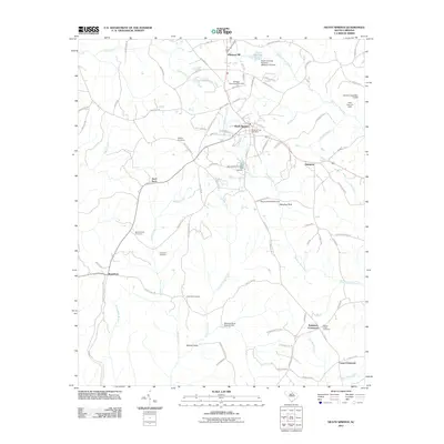
2011 Map of Heath Springs
USGS Topo · Published 2011About this map
Heath Springs serves as the central hub of this South Carolina landscape, defined by a network of creeks and significant historical landmarks. To the south, the Hanging Rock Battleground and the prominent Hanging Rock terrain feature mark an area of deep historical importance, while the Springs-Stevens State Fish Hatchery indicates the local focus on conservation and natural resources. The map is particularly useful for genealogical research, documenting several burial grounds including Mobley Cemetery, Beaver Creek Cemetery, Hammond Cemetery, and Rock Hill Cemetery.
Find a feature on this map
95 named features on this map. Tap any name to fly to it.
Don’t see what you’re looking for? This feature index may not catch every label — zoom into the map to look around manually.
Map Details
Editions of this 2011 Heath Springs Map
This is the sole edition of this map. No revisions or reprints were ever made.
Other maps of this area

1935 · Camden
USGS Topo · 1:48,000

1938 · Camden
USGS Topo · 1:62,500

1941 · Spartanburg
USGS Topo · 1:250,000

1942 · Camden
USGS Topo · 1:125,000

1953 · Spartanburg
USGS Topo · 1:250,000

1960 · Spartanburg
USGS Topo · 1:250,000

1963 · Spartanburg
USGS Topo · 1:250,000

1964 · Spartanburg
USGS Topo · 1:250,000

1968 · Lancaster SE
USGS Topo · 1:24,000

1968 · Heath Springs
USGS Topo · 1:24,000