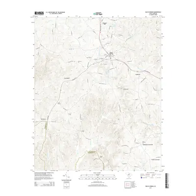
2014 Map of Heath Springs
USGS Topo · Published 2014About this map
Heath Springs serves as the central hub for this portion of the Piedmont, situated where the Kershaw Camden Hwy and Us-521 intersect. The landscape is marked by historical family-named cemeteries and landmarks that reflect long-standing settlement patterns in both Lancaster and Kershaw counties. Notable sites for local history researchers include Mobley Cem and Rock Hill Cem, alongside the small communities of Oakhurst and Pleasant Hill.
Find a feature on this map
92 named features on this map. Tap any name to fly to it.
Don’t see what you’re looking for? This feature index may not catch every label — zoom into the map to look around manually.
Map Details
Editions of this 2014 Heath Springs Map
This is the sole edition of this map. No revisions or reprints were ever made.
Other maps of this area

1935 · Camden
USGS Topo · 1:48,000

1938 · Camden
USGS Topo · 1:62,500

1941 · Spartanburg
USGS Topo · 1:250,000

1942 · Camden
USGS Topo · 1:125,000

1953 · Spartanburg
USGS Topo · 1:250,000

1960 · Spartanburg
USGS Topo · 1:250,000

1963 · Spartanburg
USGS Topo · 1:250,000

1964 · Spartanburg
USGS Topo · 1:250,000

1968 · Lancaster SE
USGS Topo · 1:24,000

1968 · Heath Springs
USGS Topo · 1:24,000