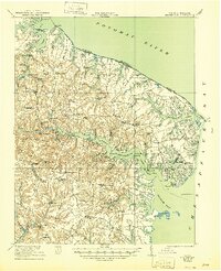
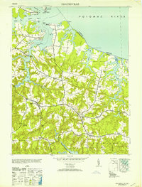
1917 Map of Heathsville
USGS Topo · Published 1944About this map
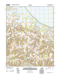
Steamboat routes along the Coan River and Great Wicomico River define the maritime character of this Virginia coastal region during the First World War. The topography is dominated by the deeply indented shorelines of the Potomac River and the Chesapeake Bay, where fingers of land like Bay Quarter Neck and Hack Neck reach into the water. This 1917 survey captures the Northern Neck in an era of local industry and waterborne commerce, with numerous small mills such as Sydnors Mill and Coanlee Mill scattered across the inland drainage.
Find a feature on this map
120 named features on this map. Tap any name to fly to it.
Don’t see what you’re looking for? This feature index may not catch every label — zoom into the map to look around manually.
Map Details
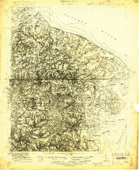
Editions of this 1917 Heathsville Map
4 editions found
Historical Maps of Heathsville Through Time
10 maps found
1917 Heathsville
Northumberland County, VA
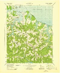
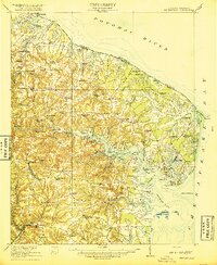
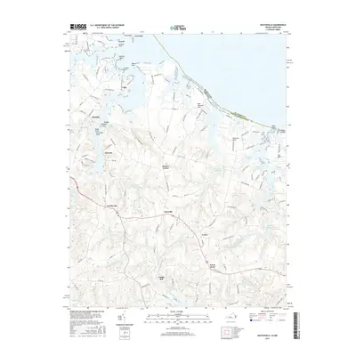
1944 Heathsville
Northumberland County, VA
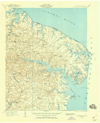
1953 Heathsville
Northumberland County, VA

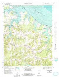
1962 Heathsville
Northumberland County, VA
1968 Heathsville
Northumberland County, VA
2011 Heathsville
Northumberland County, VA
2013 Heathsville
Northumberland County, VA
2016 Heathsville
Northumberland County, VA
2019 Heathsville
Northumberland County, VA
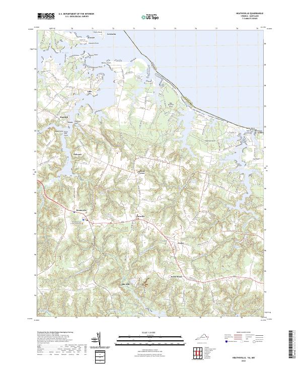
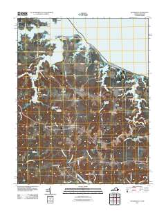
2022 Heathsville
Northumberland County, VA