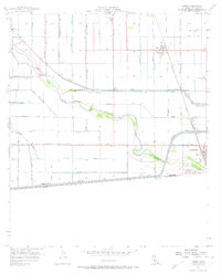
1957 Map of Heber
USGS Topo · Published 1974About this map
Calexico and Heber anchor this 1957 irrigation-focused landscape, where the United States Mexico border is defined by the massive infrastructure of the All American Canal. The arid Imperial Valley terrain is transformed by an intricate network of water management, from the New River winding through the center to specialized channels like the Wistaria Drain and Beech Canal. This period shows the region's agricultural intensity, featuring multiple Labor Camps and the Southern Pacific railroad cutting through the eastern corridor.
Find a feature on this map
53 named features on this map. Tap any name to fly to it.
Don’t see what you’re looking for? This feature index may not catch every label — zoom into the map to look around manually.
Map Details
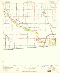
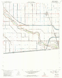
Editions of this 1957 Heber Map
3 editions found
Other maps of this area

1907 · Holtville
USGS Topo · 1:125,000

1915 · El Centro
USGS Topo · 1:125,000

1940 · Brawley
USGS Topo · 1:62,500

1940 · Heber
USGS Topo · 1:62,500

1940 · Alamorio
USGS Topo · 1:62,500

1940 · Calexico
USGS Topo · 1:62,500

1942 · El Centro
USGS Topo · 1:250,000

1943 · Heber
USGS Topo · 1:62,500

1943 · Brawley
USGS Topo · 1:62,500

1943 · Calexico
USGS Topo · 1:62,500