
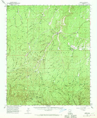
1961 Map of Heber
USGS Topo · Published 1963About this map
Heber and Overgaard anchor this high-country landscape along the Mogollon Rim, where ranching and forestry define the rural character of early 1960s Navajo County. The map documents a network of family-named outposts and water sources critical to the local economy, including Wyrick Ranch, Walnut Ranch, and Gibson Ranch. A complex system of stock tanks and springs, such as Turkey Springs and Buckhorn Tank, underscores the importance of water management in this arid timberland.
Find a feature on this map
111 named features on this map. Tap any name to fly to it.
Don’t see what you’re looking for? This feature index may not catch every label — zoom into the map to look around manually.
Map Details
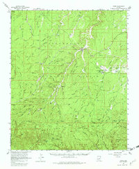
Editions of this 1961 Heber Map
3 editions found
Other maps of this area

1886 · Holbrook
USGS Topo · 1:250,000

1893 · Holbrook
USGS Topo · 1:250,000

1954 · Holbrook
USGS Topo · 1:250,000

1957 · Holbrook
USGS Topo · 1:250,000

1958 · Holbrook
USGS Topo · 1:250,000

1960 · Holbrook
USGS Topo · 1:250,000

1961 · Woods Canyon
USGS Topo · 1:62,500

1961 · Clay Springs
USGS Topo · 1:62,500

1961 · Cibecue
USGS Topo · 1:62,500

1961 · Chediski Peak
USGS Topo · 1:62,500