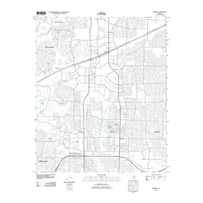
2010 Map of Hebron
USGS Topo · Published 2010About this map
Hebron and Lolaville serve as central points in this 2010 depiction of the rapidly developing corridor between The Colony, Carrollton, and Plano. The landscape is a complex network of suburban expansion, where residential street grids meet established landmarks like Air Park-Dallas and commercial hubs such as The Shops at Willow Bend. For genealogists and local historians, the map preserves the locations of Bridges Cemetery and Baccus Cemetery, providing essential physical context for early family sites within a modernizing urban frame.
Find a feature on this map
49 named features on this map. Tap any name to fly to it.
Don’t see what you’re looking for? This feature index may not catch every label — zoom into the map to look around manually.
Map Details
Editions of this 2010 Hebron Map
This is the sole edition of this map. No revisions or reprints were ever made.
Other maps of this area

1891 · Dallas
USGS Topo · 1:125,000

1893 · Dallas
USGS Topo · 1:125,000

1925 · Mc Kinney 3-c
USGS Topo · 1:48,000

1925 · Dallas 2-b
USGS Topo · 1:48,000

1929 · Frisco
USGS Topo · 1:62,500

1929 · McKinney
USGS Topo · 1:62,500

1931 · Carrollton
USGS Topo · 1:62,500

1954 · Dallas
USGS Topo · 1:250,000

1954 · Sherman
USGS Topo · 1:250,000

1958 · Dallas
USGS Topo · 1:250,000